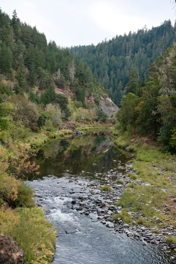
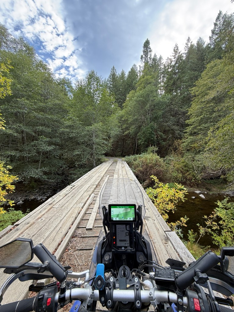
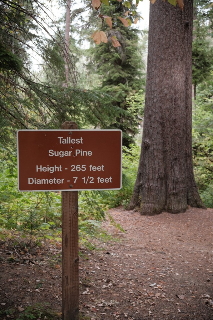
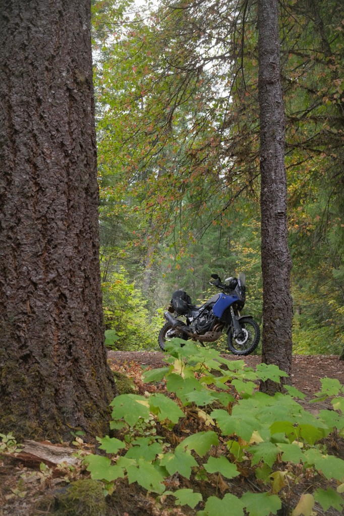
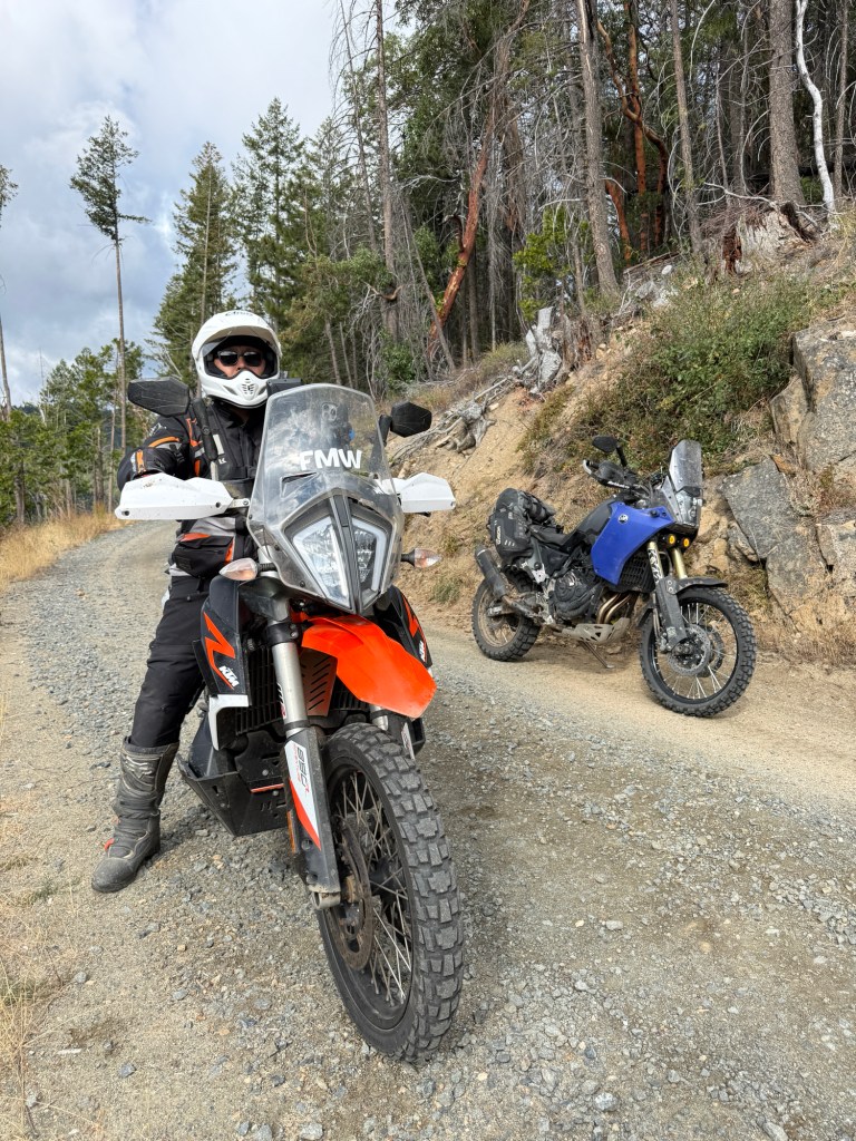
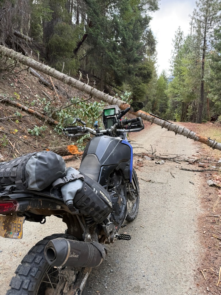
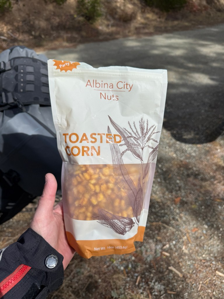
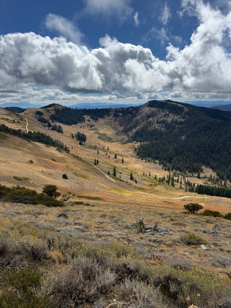
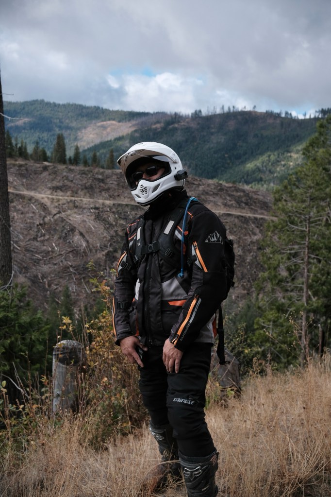
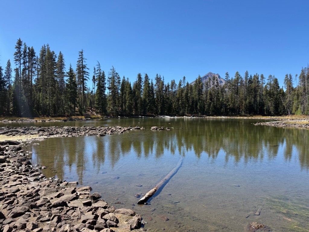
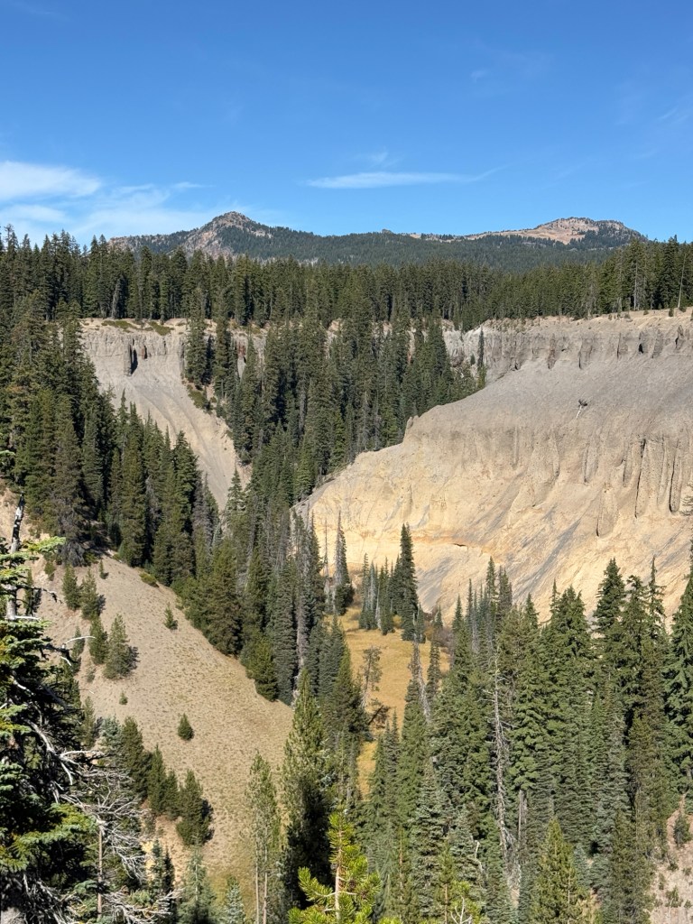
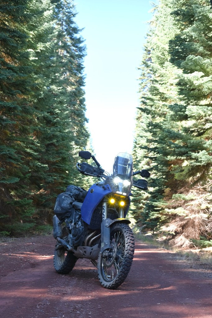
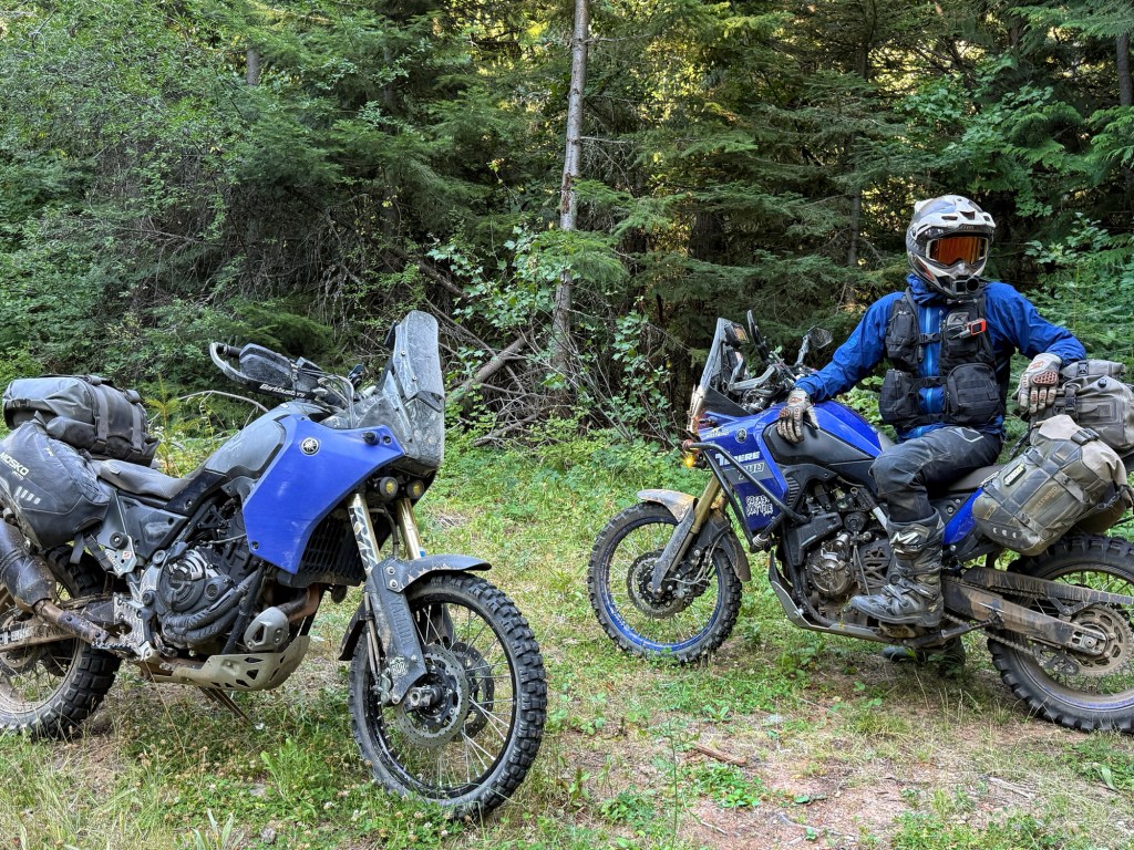
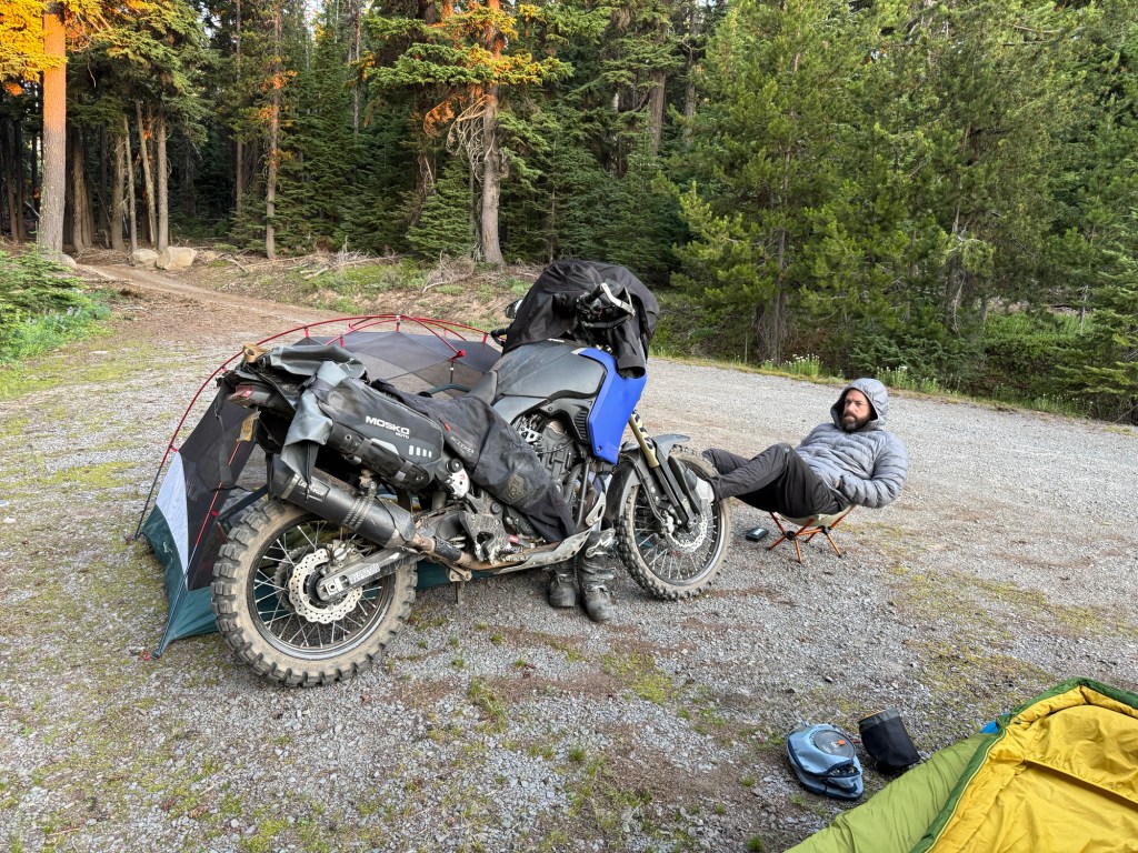
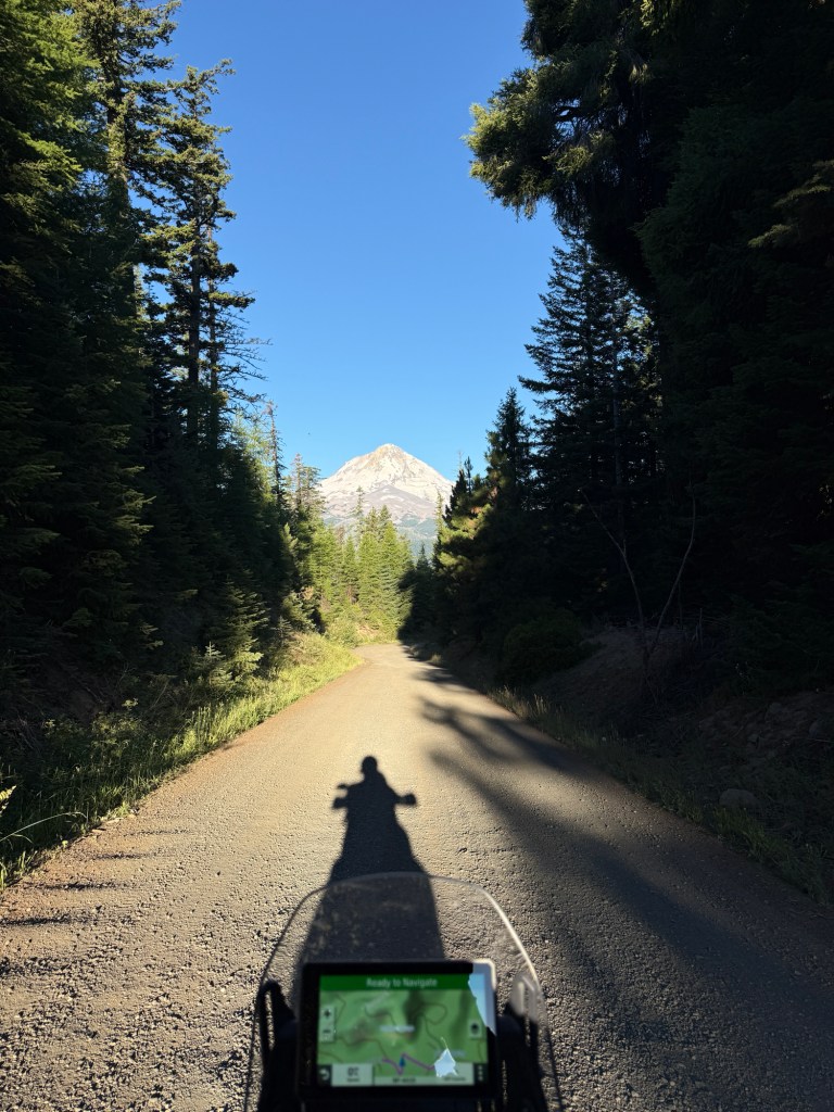
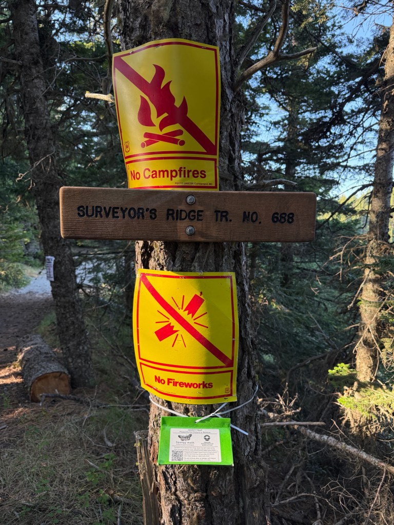
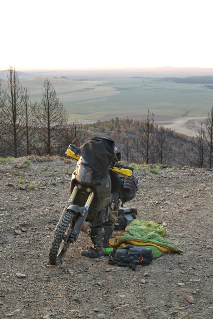
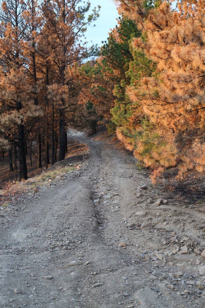
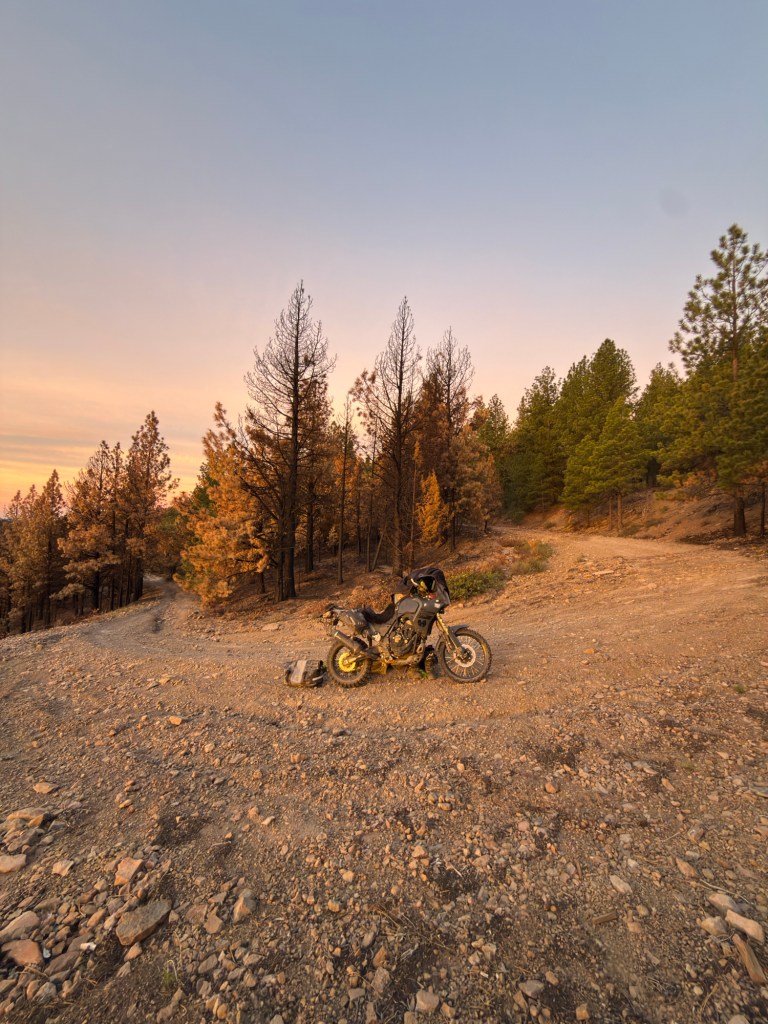
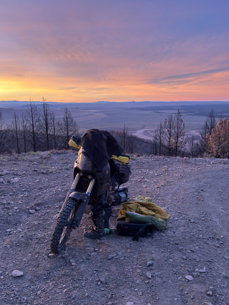
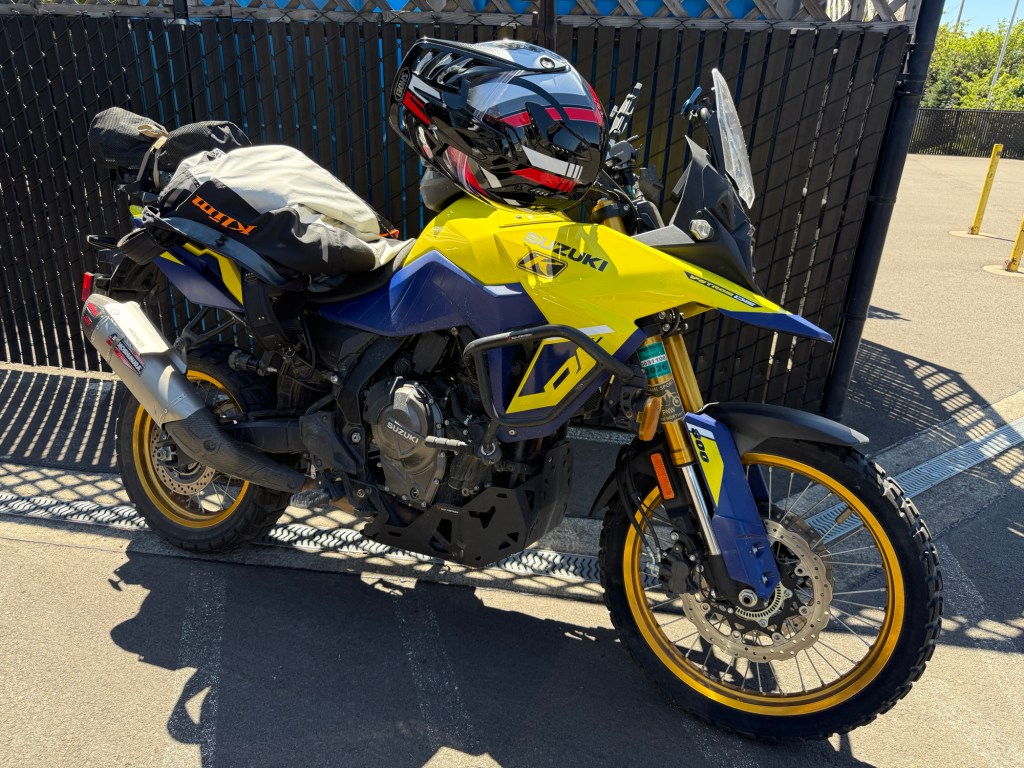
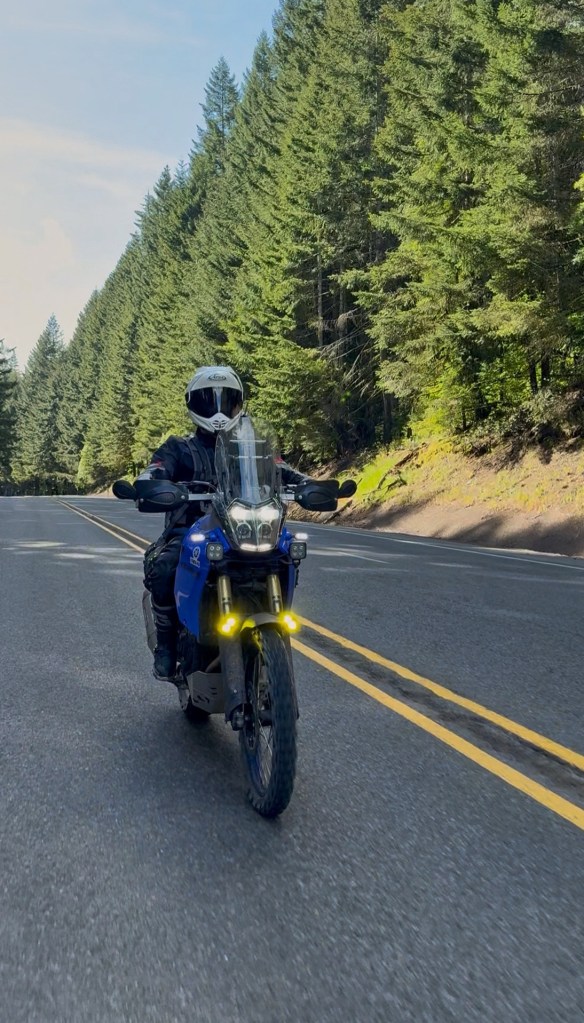
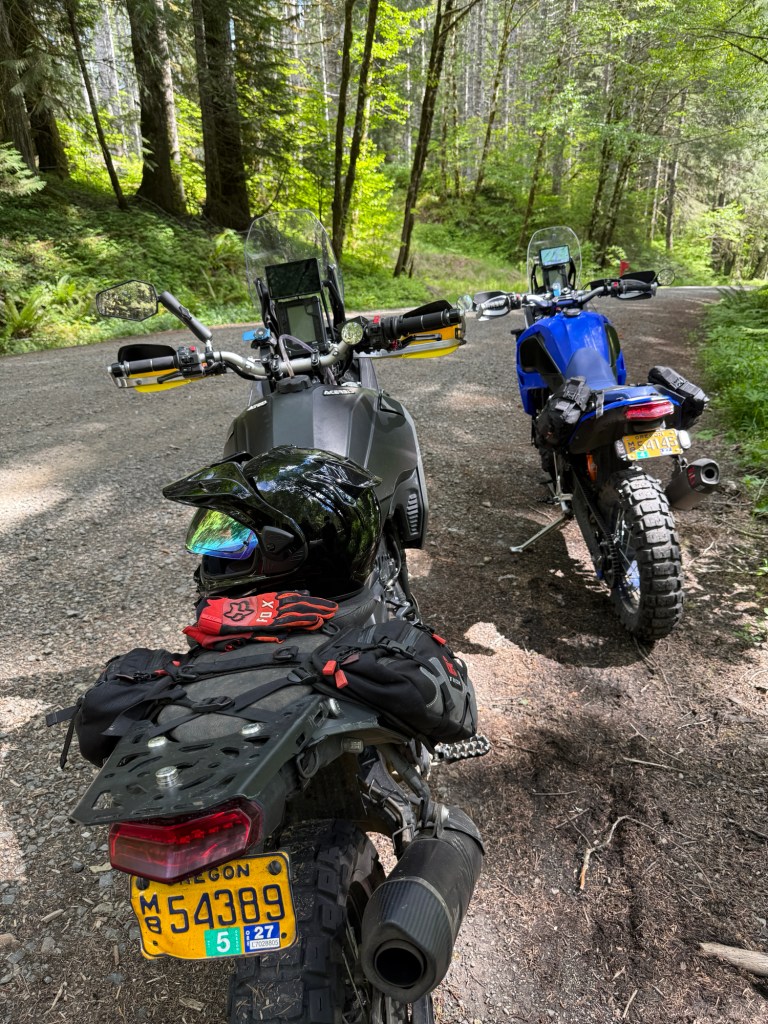
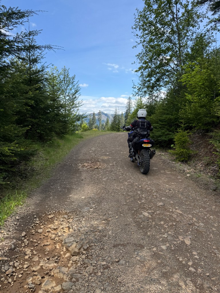
Greg and I usually do an annual bike ride between our birthdays. This year’s trip was a 4-day adventure exploring the Rogue River-Siskiyou National Forest, which borders Oregon and California.
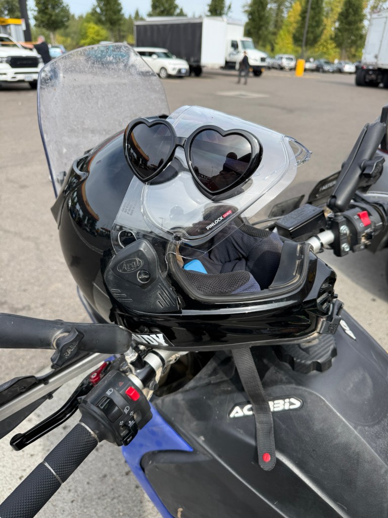
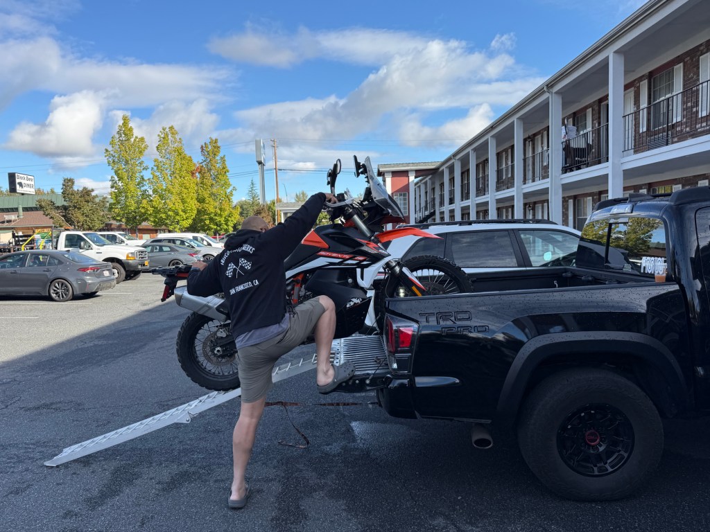
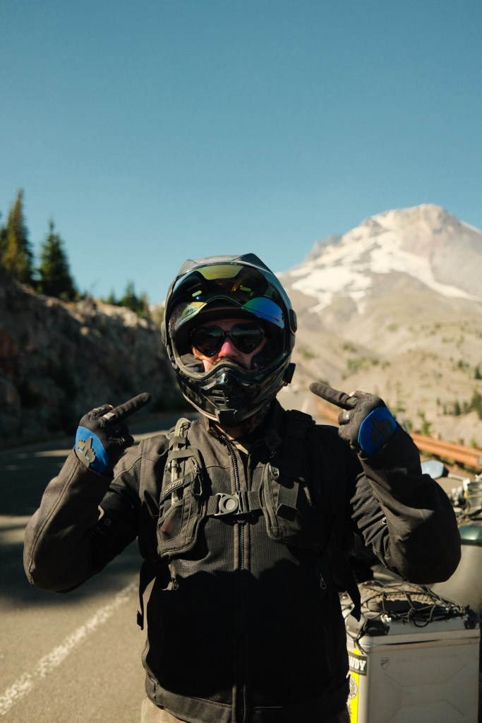
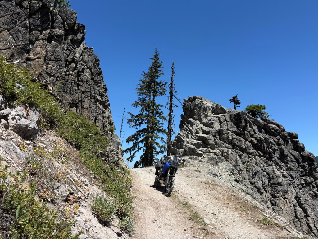
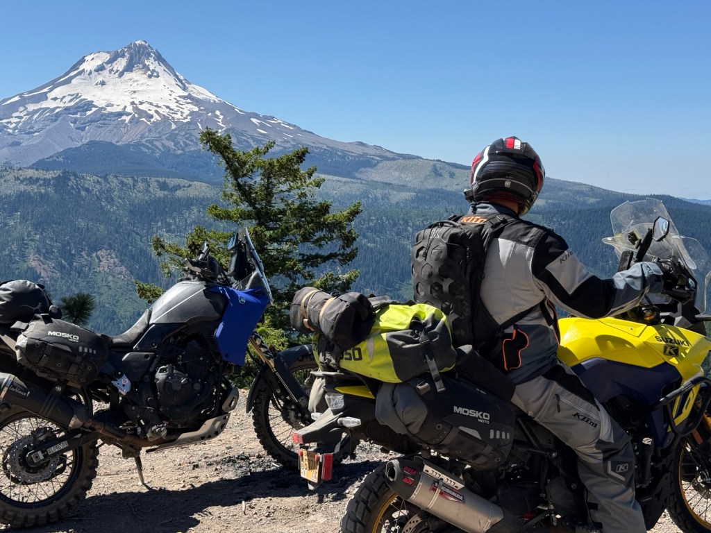
These heart sunglasses have quickly become my special power on ADV tripsI did some exploring in the Umpqua National Forest before meeting Greg in Medford, OR. This year we decided to stay at a hotel, instead of campingGreg hauled his KTM 890 North from San FranciscoGreg (IG: @FriscoMotorWerks)Buy these… you’re welcome!Amazing views on Dutchman Peak
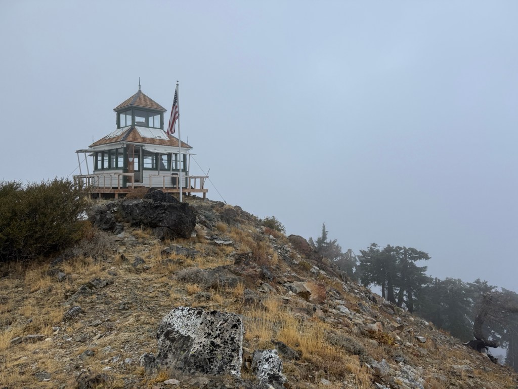
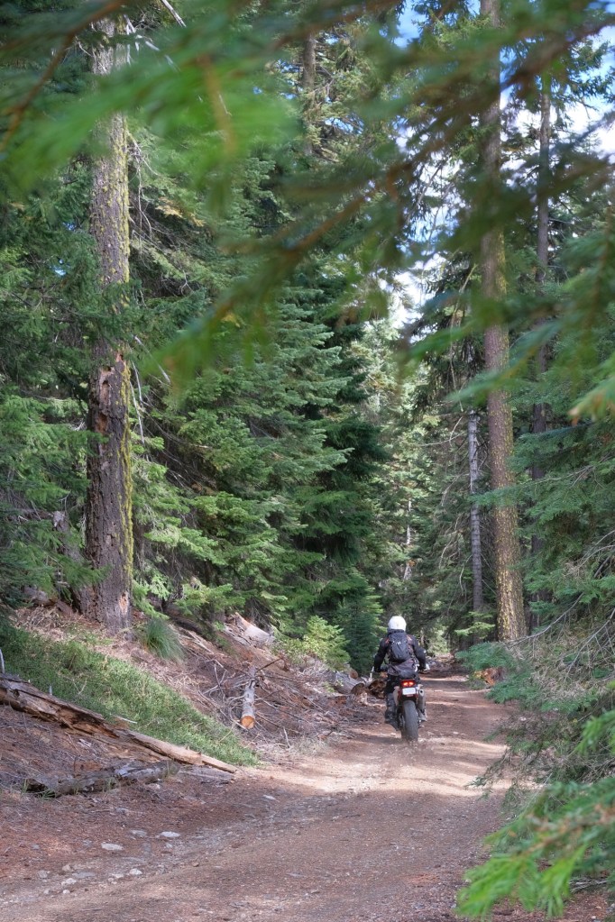
The Dutchman Peak Lookout was built in 1927 and is the last remaining cupola-style lookout (a “cupola” is a small dome-shaped structure built on top of a building’s roof).
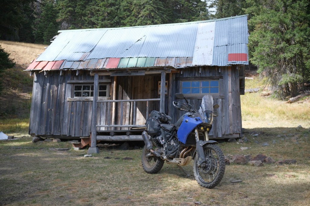
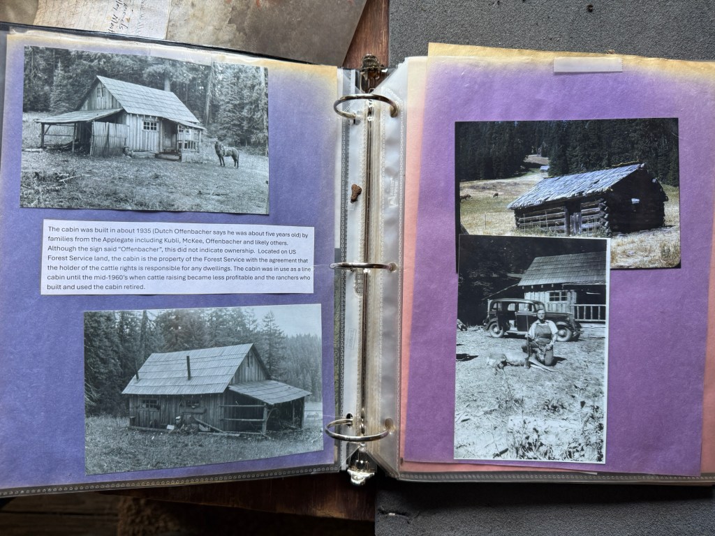
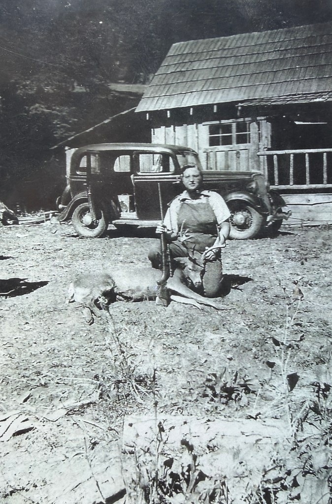
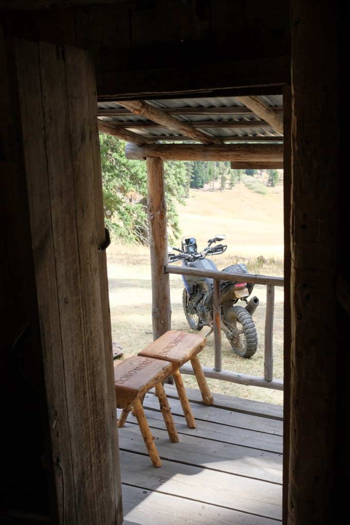
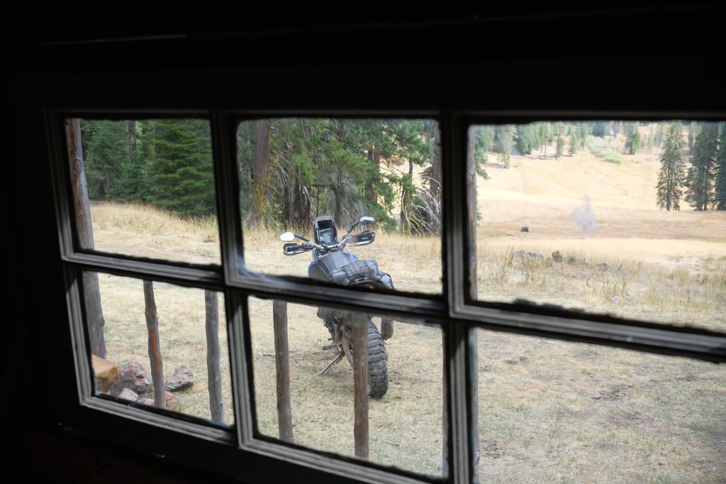
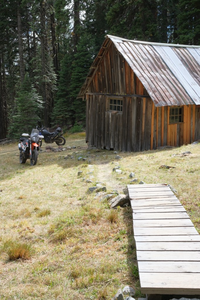
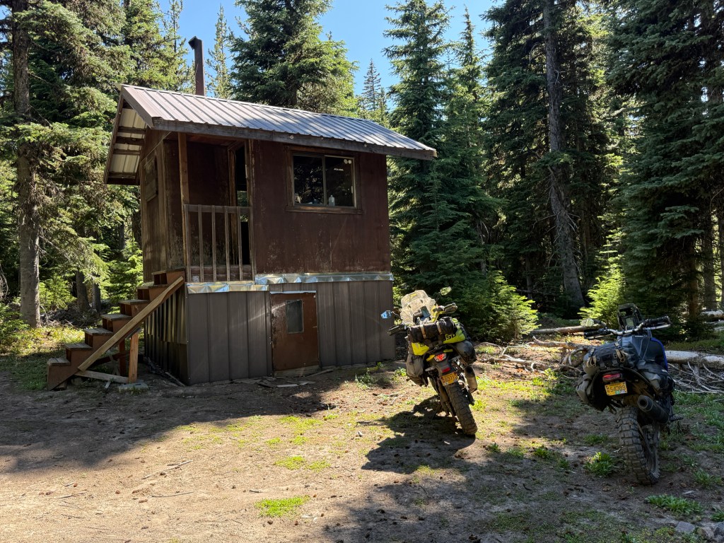
After Dutchman Peak, we rode south into California to Donomore Cabin; this cabin was built in 1935.
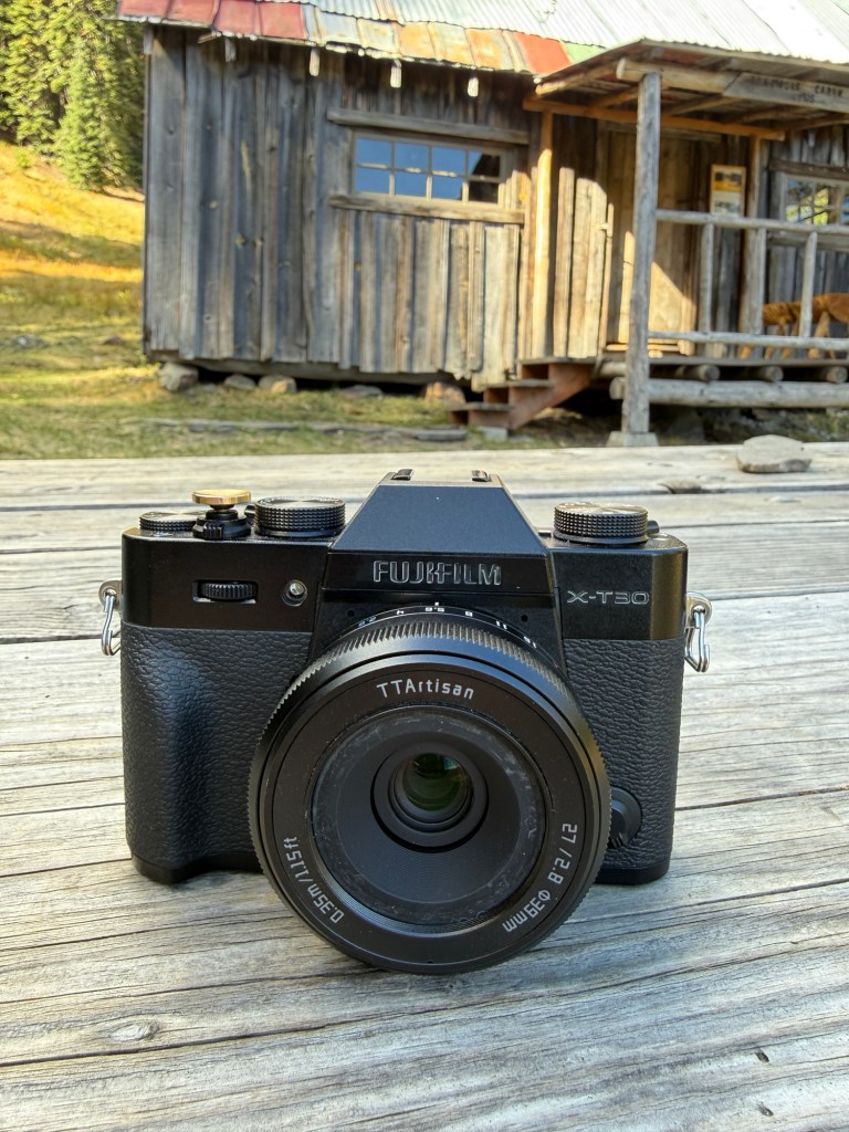
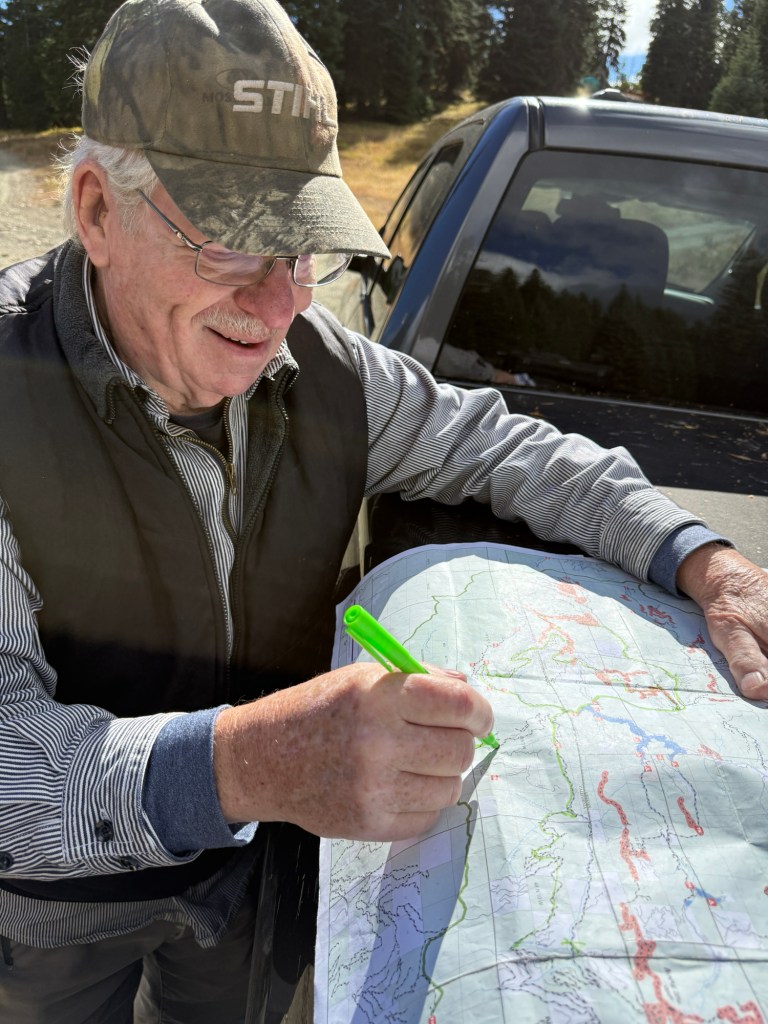
My Fuji XT30, with a TTartisan 27mm lensWe ran into this ol’ timer, Hank, who was excited to give us a map with some of his “secret trails”
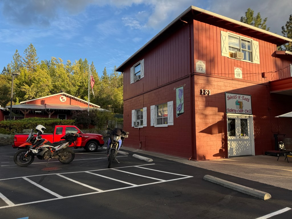
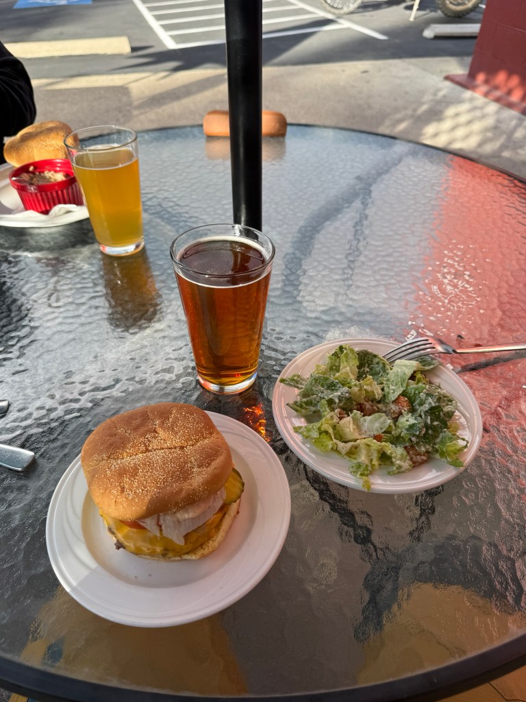
After 70+ miles of trail-riding we were on the hunt for food. While we were cruising along Scenic Route 238, a deer jumped directly into my leg… flipped and spun in the air… fell into the ditch… then got up and limped away! Luckily there was no damage to me or the bike. Unfortunately for the deer, I don’t know if he lived much longer after that.
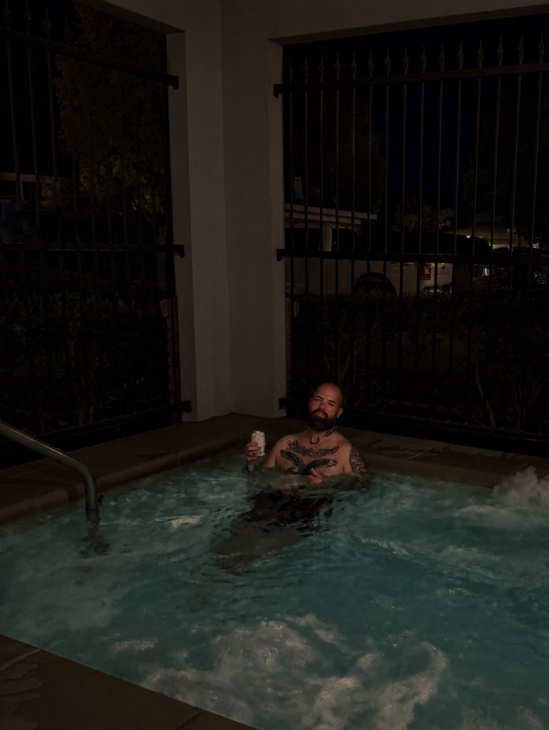
Hot tubbin’ after getting “harassed” by a deer
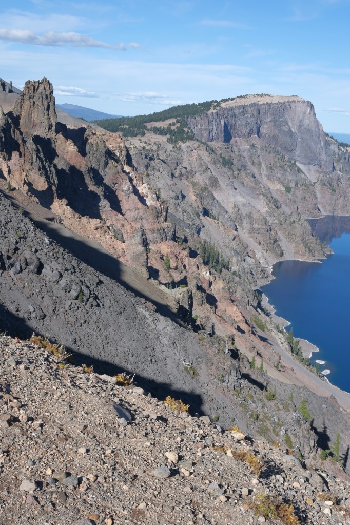
Ok, this photo above is pretty interesting! What you’re looking at are fossilized steam pinnacles from what used to be Mount Mazama. Mount Mazama was a volcano that erupted about 7,700 years ago, and is now known as Crater Lake.
Those little “hills” in the background are what’s left of Mount Mazama — that’s the bottom of the volcano/mountain!
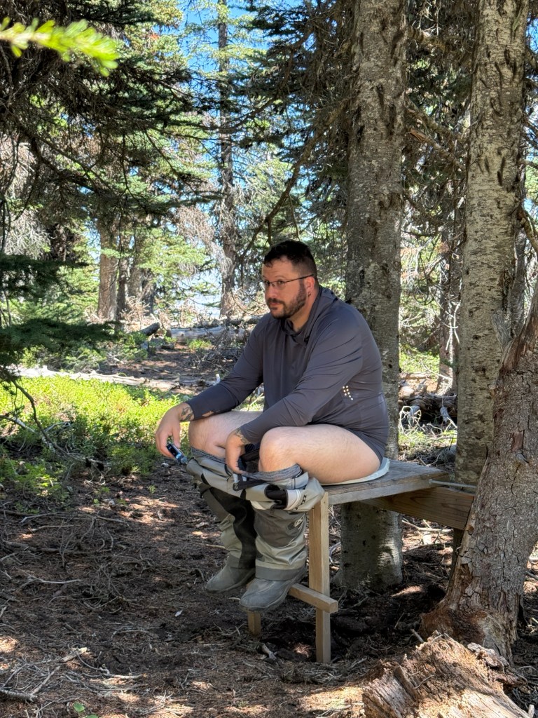
Obligatory pissing photo
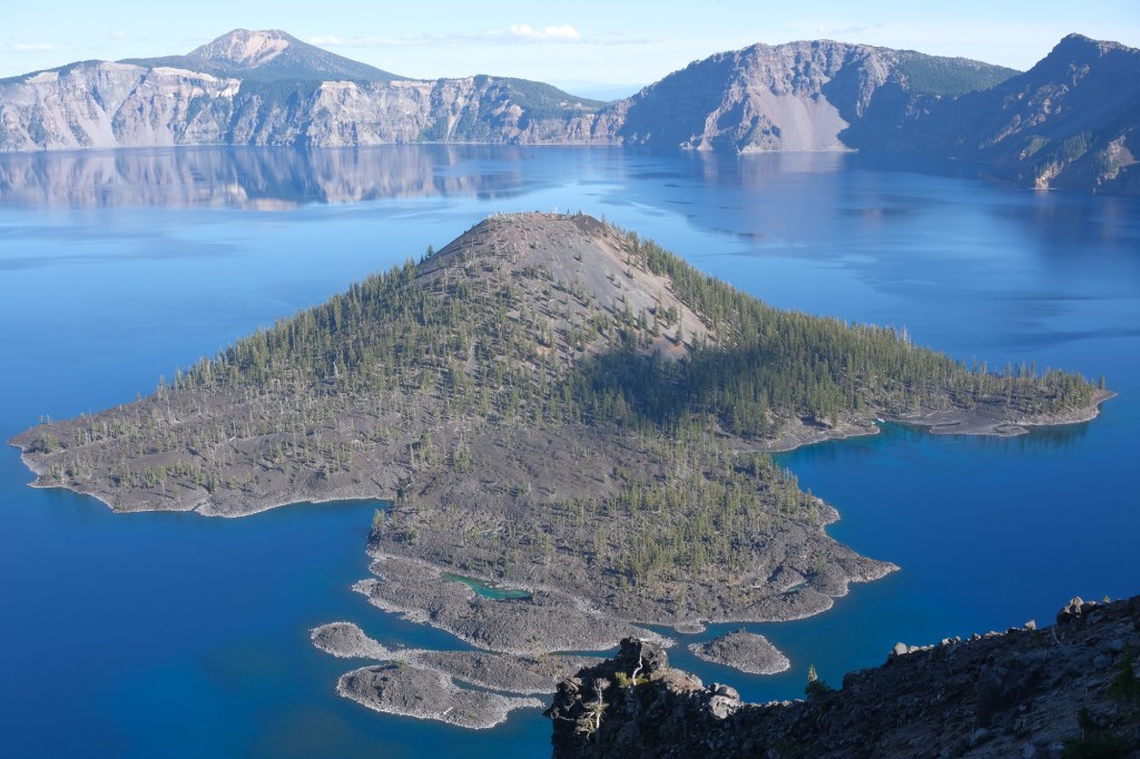
This island is called Wizard Island and is actually a volcanic cinder cone that rises 755 feet above the surface of Crater Lake.
Crater Lake is 1,943 feet deep, which makes it the deepest lake in the United States.
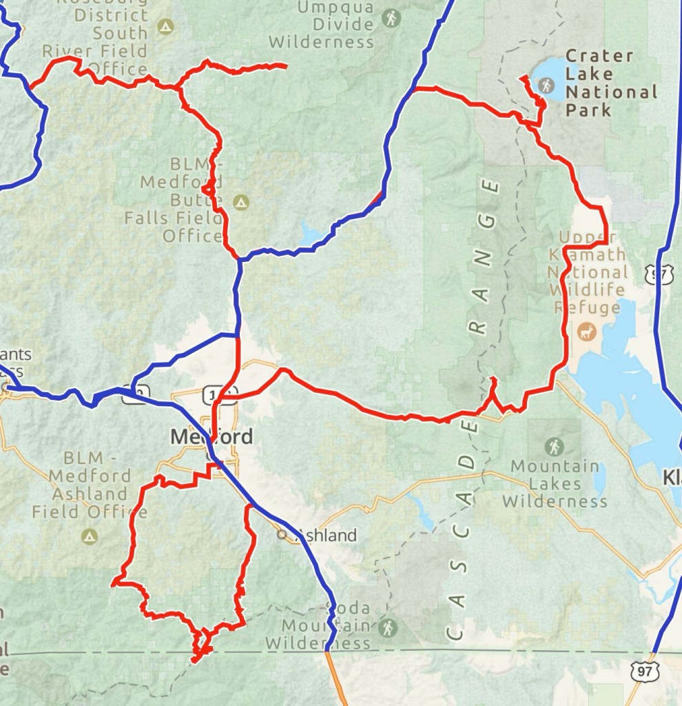
I tracked 912 miles, door-to-door
Since this month marks one year of having this blog page, I thought I’d share some thoughts on the experience.
I really like the blog platform more than I thought I was going to! It’s been fun thinking of photography with more of a journalistic approach, rather than searching for that “one perfect photo” to post. It’s also weird how hard it was in the beginning to photograph the little things I’d normally skip over. Now, every time I take a photo, I’m thinking about how it fits into the story. I’m still figuring out where I want to take my photography and storytelling, but I feel like I’m getting closer with every post.
The ADVGoonz had been scheduling and rescheduling a trip for well over a year before the stars were finally aligned. We planned this trip as a 4-day adventure exploring the Mount Hood National Forest; I was pretty excited to show Blaine, David, and Mike “my backyard” since they’re all from outta town.
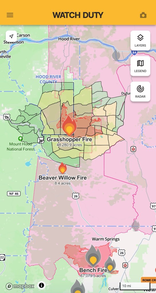
Unfortunately for us, a large forest fire started a few days before our trip. We still decided to go, despite the uncertainty surrounding trail conditions.
I apologize in advance for the long post.
DAY 1 (Thursday)
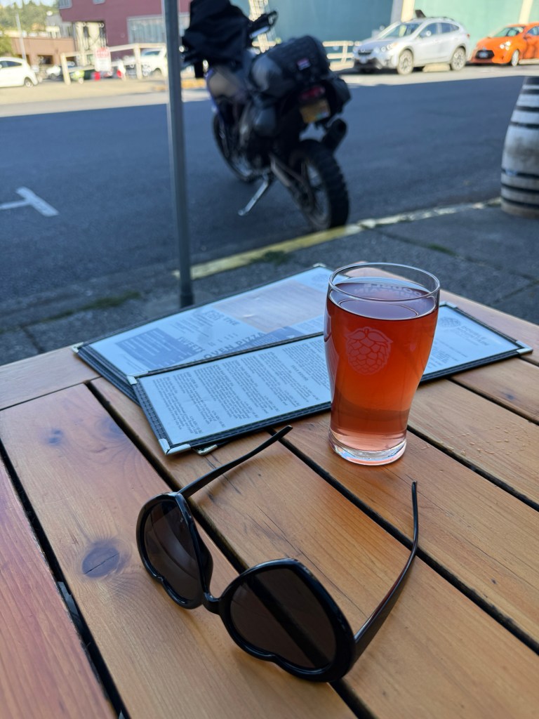
I headed to Hood River to meet up with the guysI made it to Hood River first, so I figured I’d have a beer to keep me company
David and Mike both rode south from Seattle WA, via some dirt trails in the Gifford Pinchot National Forest. Blaine rode north from Sisters OR.
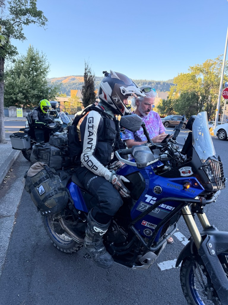
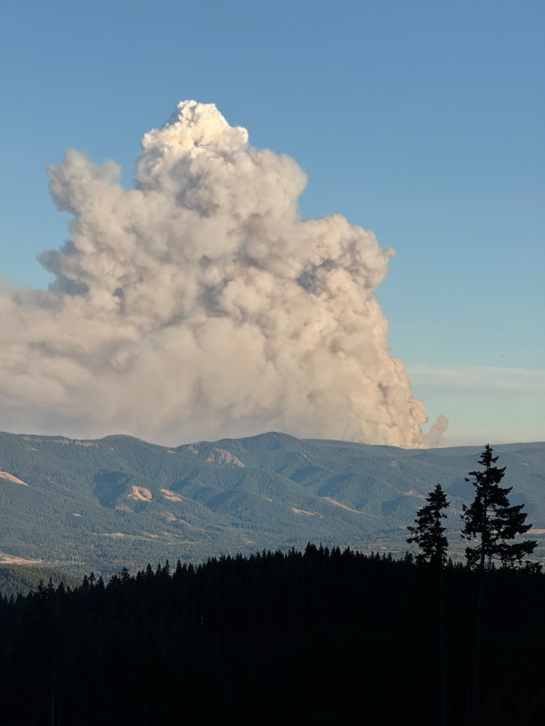
The thing about bikes, is you can’t go anywhere without random people wanting to talk “bikes”Smoke from the Grasshopper Fire
At the time of me writing this (August 4th), Oregon has officially broken all annual fire records. There’s currently over 2 million acres burnt this year, and there’s still two months left of our typical “fire season”.
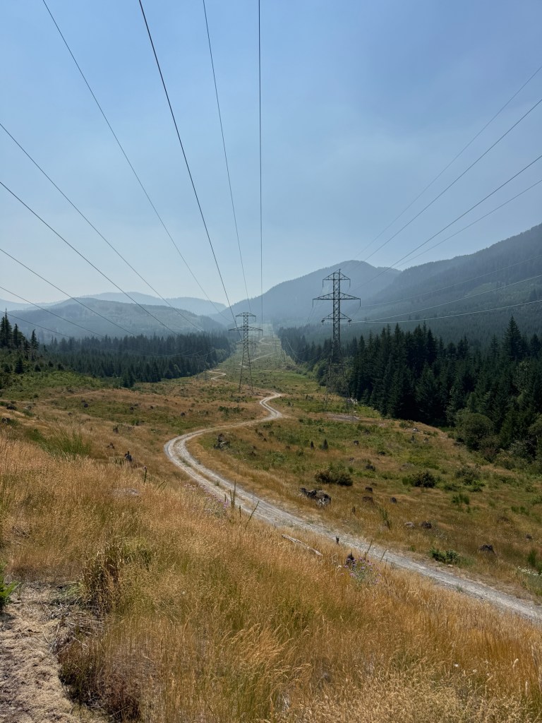
The Grasshopper Fire is approx 48,000 acres and happens to cover some of OR-BDR Section 7 — which is what we originally intended on riding.
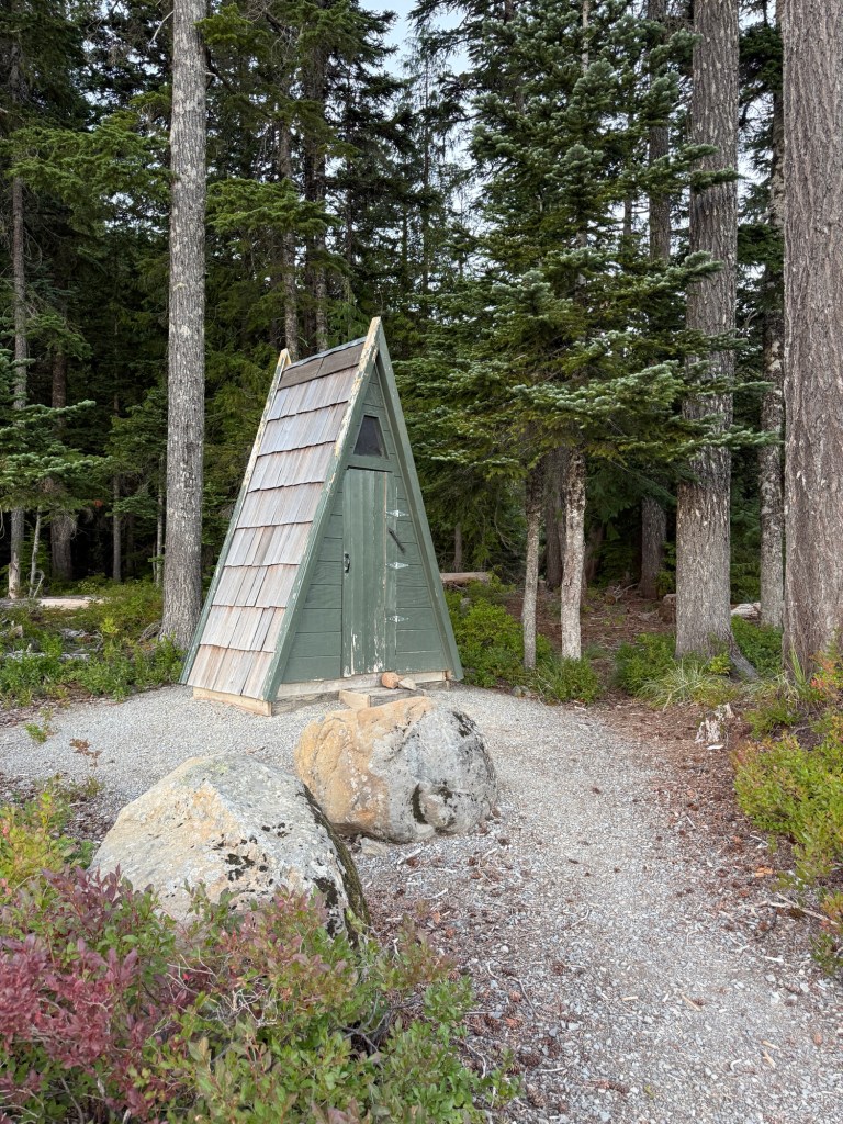
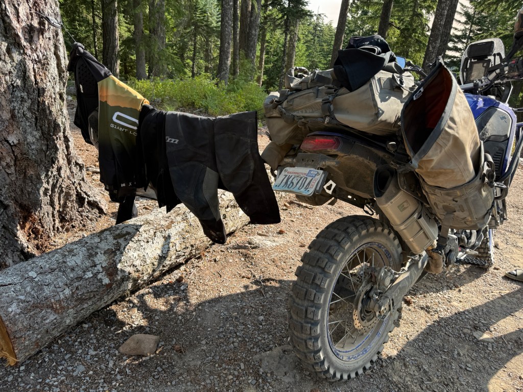
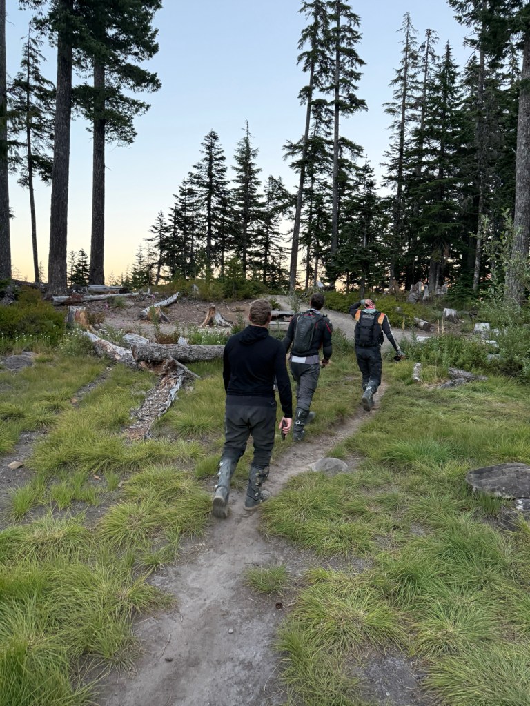
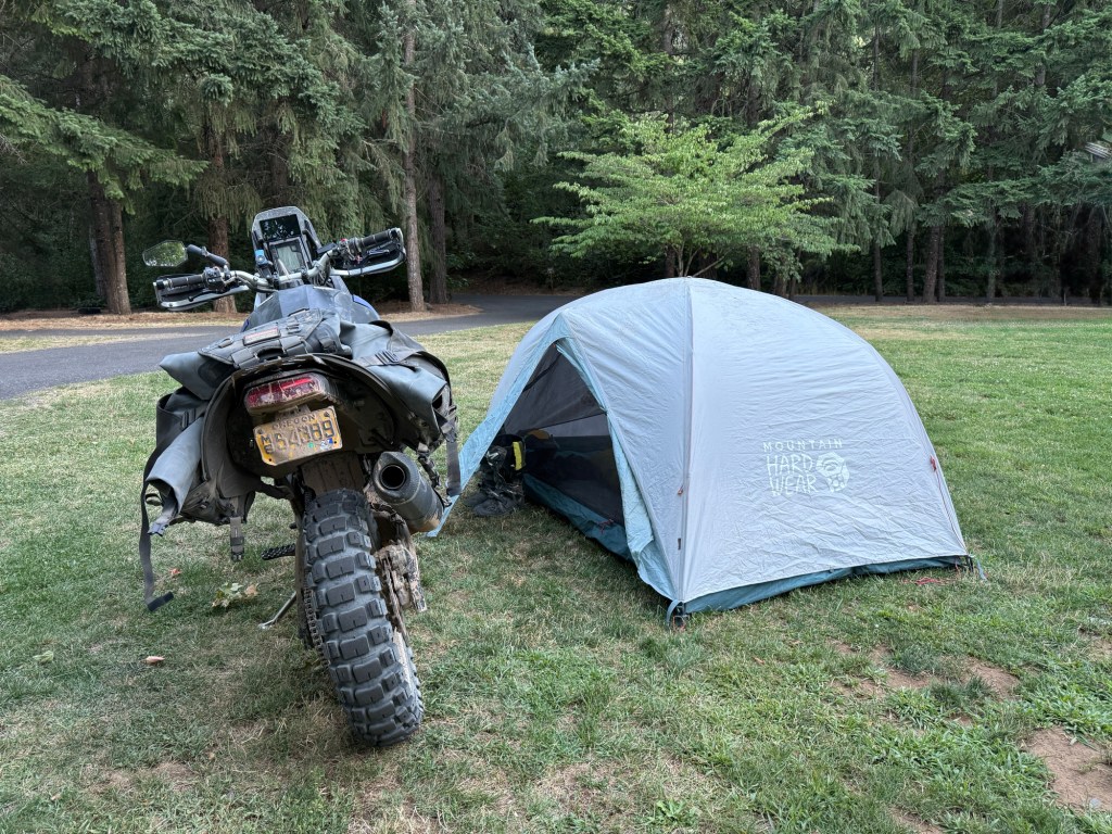
We decided to setup camp early so we’d have more time to hangout and catch up. The last time I saw David and Mike was in the Olympic Peninsula, in 2024This campground had a pretty impressive outhouseMike, and his nifty clothesline
DAY 2 (Friday)
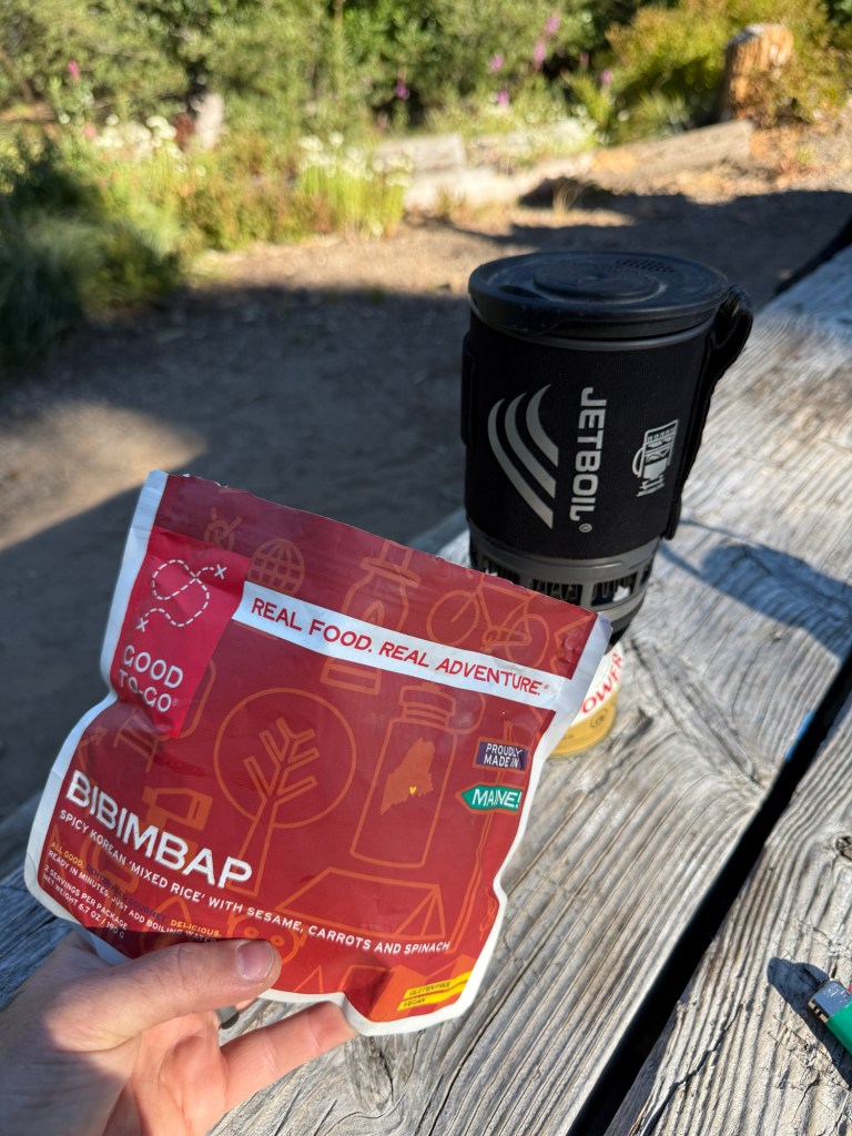
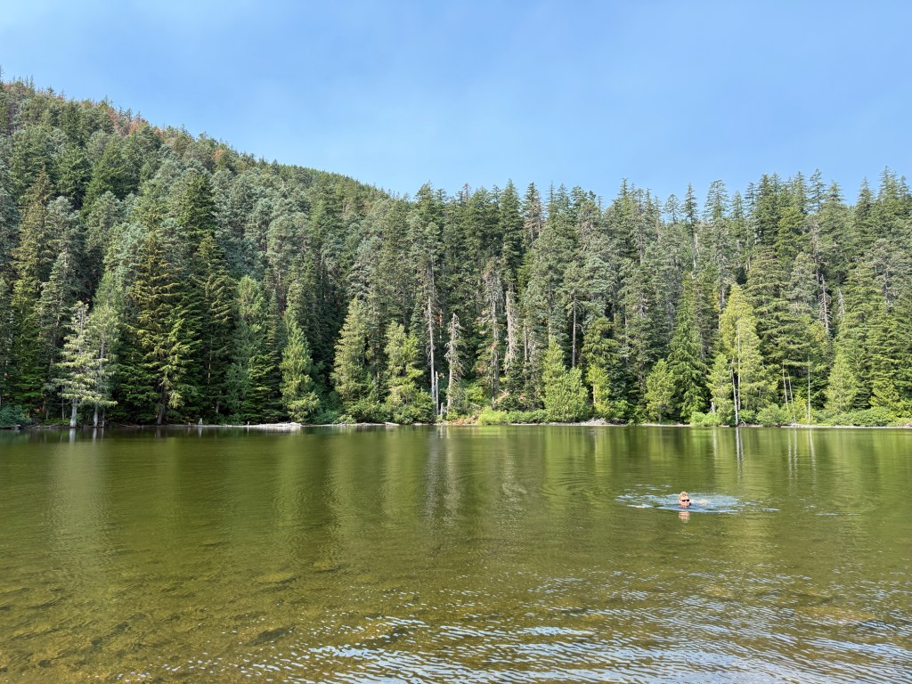
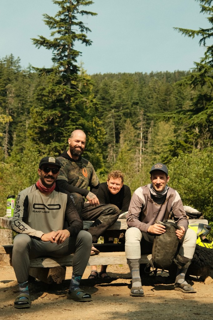
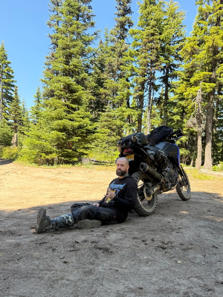
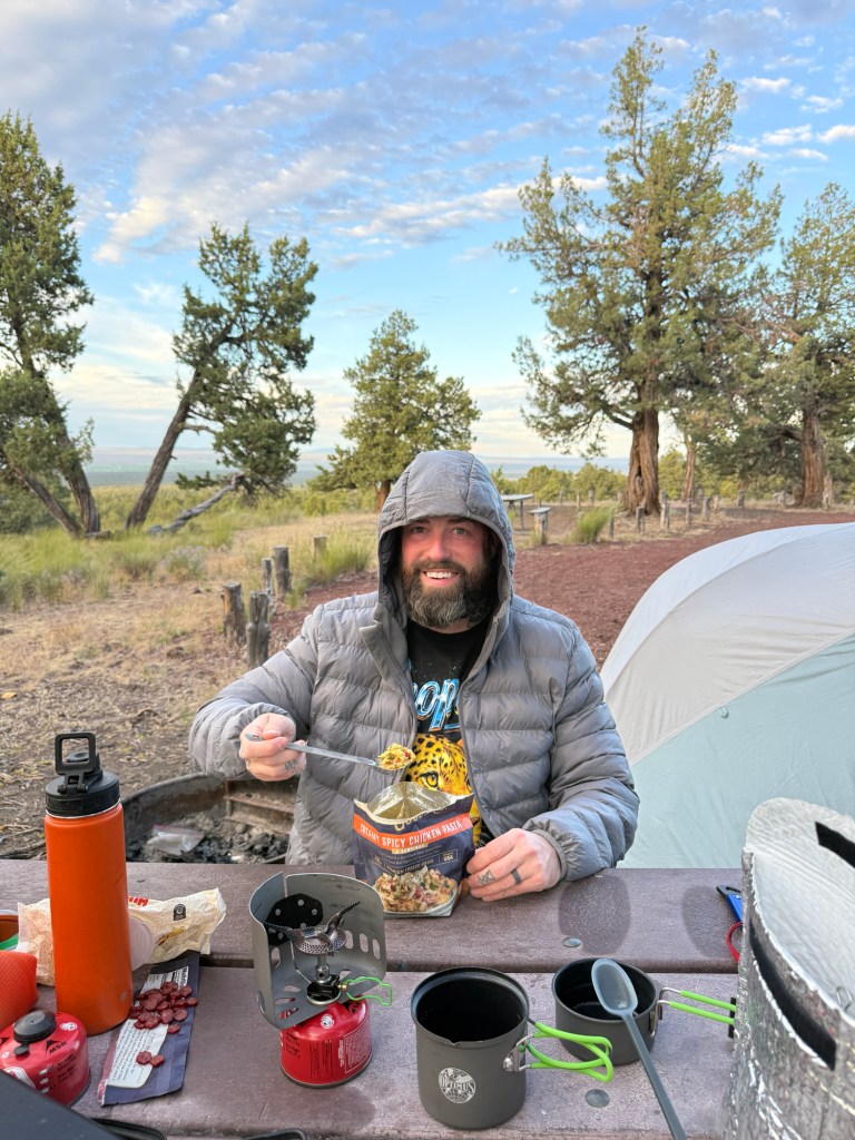
I don’t recommend this Spicy Korean Rice that I ate for breakfastBlaine wore all his clothes in the lake in hopes of staying cool a little longerL-to-R: Mike, me, Blaine, David
Here’s a little background story: In September of 2024, Mike and I quickly became Instagram friends. After a few short months of conversation, we decided to plan a bike trip with some of his friends — Blaine, David, and @PokeyMoto. That trip changed my outlook on what adventure riding could look like!
We planned a trip to the Olympic Peninsula called the “Grip Twister” (blog post No. 19). Grip Twister is a 550+ mile, self-guided, motorcycle tour that closely encircles the Olympic National Park in Northwest Washington.
That ride was life-changing for me because not only did I make new friends, but I’d also consider it my first real ADV Trip. After the Grip Twister, I was fully obsessed!
It was also on that same trip that after a long night of laughter and debauchery, we coined ourselves the “ADV Goonz”.
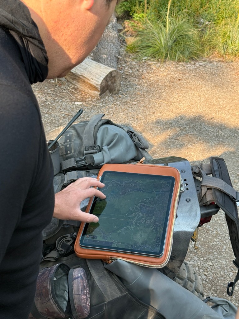
This trip required lots of routing and rerouting. Luckily for us Blaine traveled with his iPad which had lots of downloaded mapsDavid (IG: @D_Wuepper)Blaine (IG: @Blaine_Rides)Mike took this photo of me with his Fuji X100VMike also took this photo
After much consideration of the fire and smoke, we decided to skip Section 7, and ride Section 6 southbound instead.
While heading south to Timothy Lake, I seen a sign that said “High Rock” (which is my favorite local ride), so without hesitation I suggested a quick side-quest.
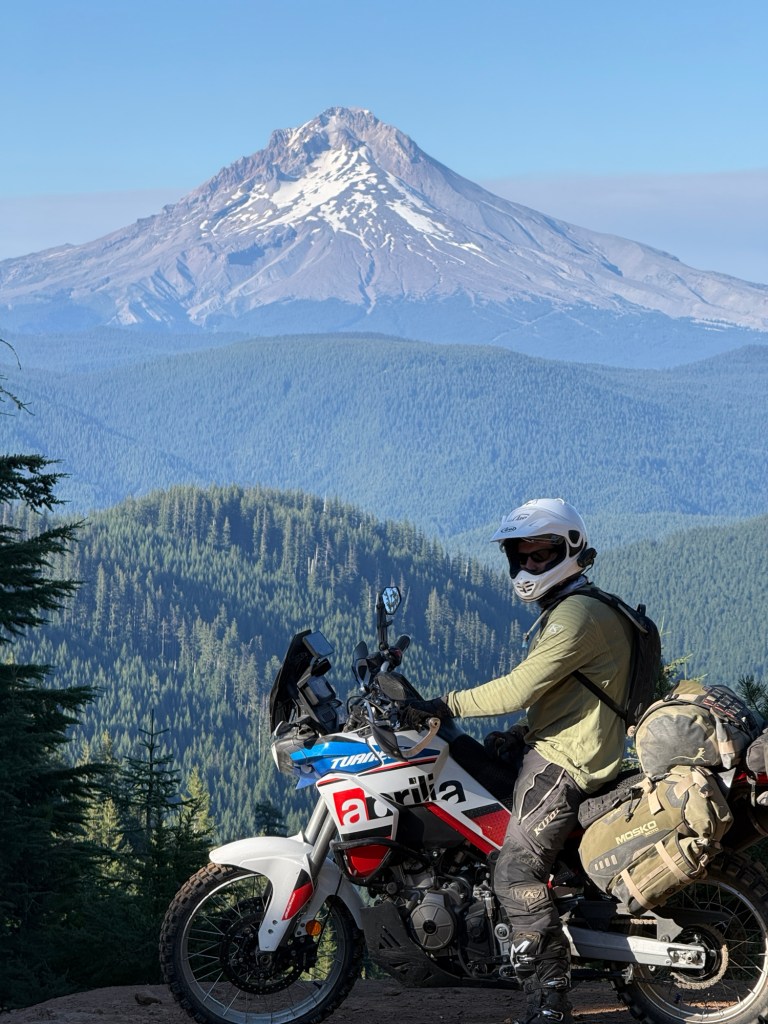
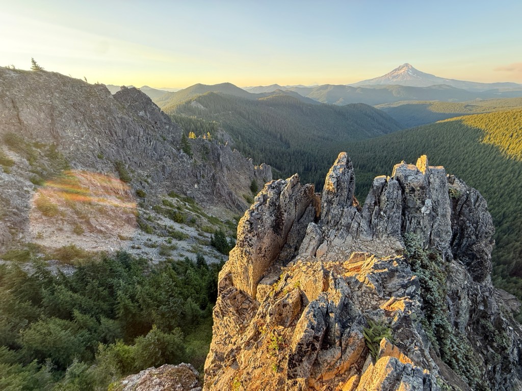
The four of us raced down a Forest Service Road lined with beautiful Douglas-Fir trees, about 12 miles in, we rolled up to this amazing view. While everyone was taking photos in awe, I told them it gets better, as I rode up a technical dirt trail to the top.
High Rock
I got to the top first, which was cool because that gave me time to see everyone’s reaction to this breathtaking spot.
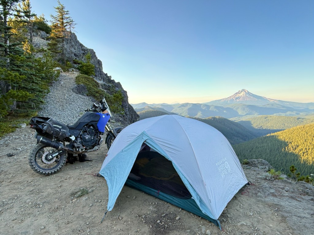
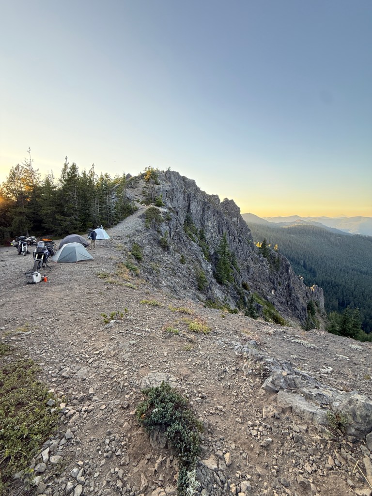
We were originally planning on camping somewhere around Timothy Lake, but that changed as we talked about how cool it would be to camp at High Rock instead.
One-by-one, everyone started finding flat spots to set up their tents. I was the “last” one to choose, although unbeknownst to them, I had already made up my mind that I was going to set up my tent on the ledge!
Of course everyone’s tent location seemed pretty lame once they saw my choice — so they all happily joined me.
Route-building
DAY 3 (Saturday)
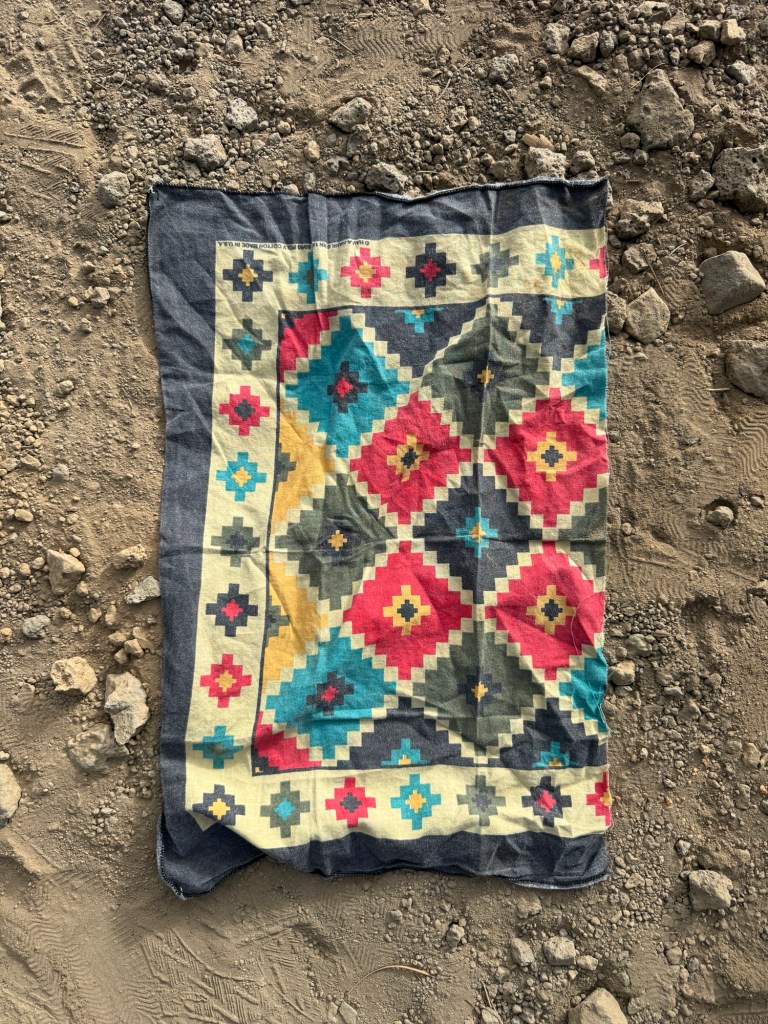
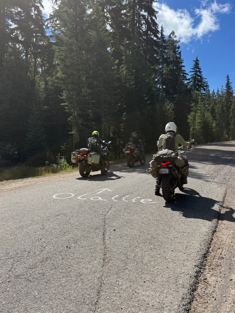
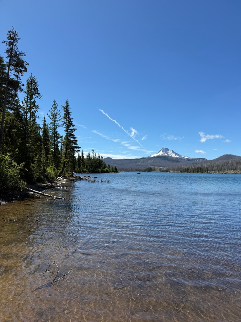
Morning view from my tentSometimes you run out of toilet paper and have to use a rock to cut a piece of your favorite bandana to wipe your assAll signs point to “Olallie” I guessOlallie Lake
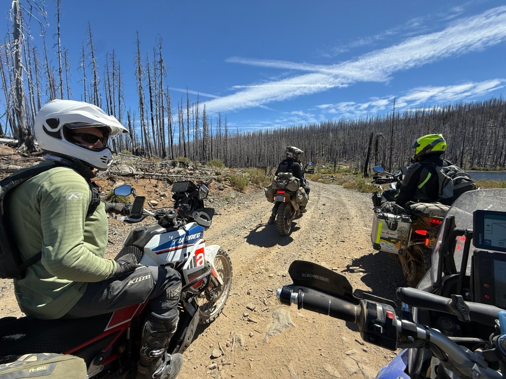
After Olallie Lake we took the “hard alternate” option of Section 6 to Detroit Lake. This section had lots of baby head sized rocks, deep ruts, and tight switchbacks on a steep unmaintained trail.
Although I don’t have any photos of it, after that section, there were lots of large panoramic vistas that reminded me of a postcard from the Colorado backcountry.
A few cheeseburgers for lunch at Detroit Lake
Blaine lives less than an hour south of Detroit Lake, so he headed home from there while we started making our way back north toward Hood River.
Mike (IG: @DadventureMoto)Some rerouting due to trail closures… and more rerouting… and rerouting again
We hopped on OR-BDR Section 7 at FSR-44 to avoid some trail closures. Unfortunately, that meant we bypassed the iconic views of Section 7 — which means they’ll have to revisit some time.
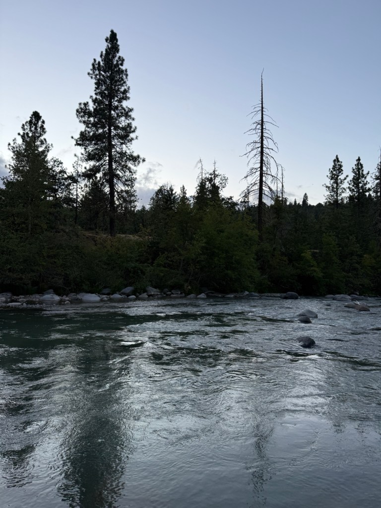
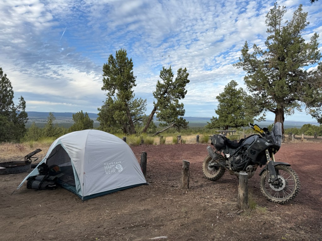
Day 3 ended at this great campground in Hood River called Tucker Park County Campground. Although I typically prefer dispersed camping, this campground was a refreshing way to end our trip. Soft grass, a fully plumbed bathroom with showers, a river, friendly camp hosts, and the smell of freshly baked s’mores.
Hood River
DAY 4 (Sunday)
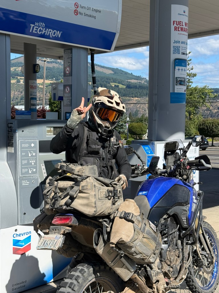
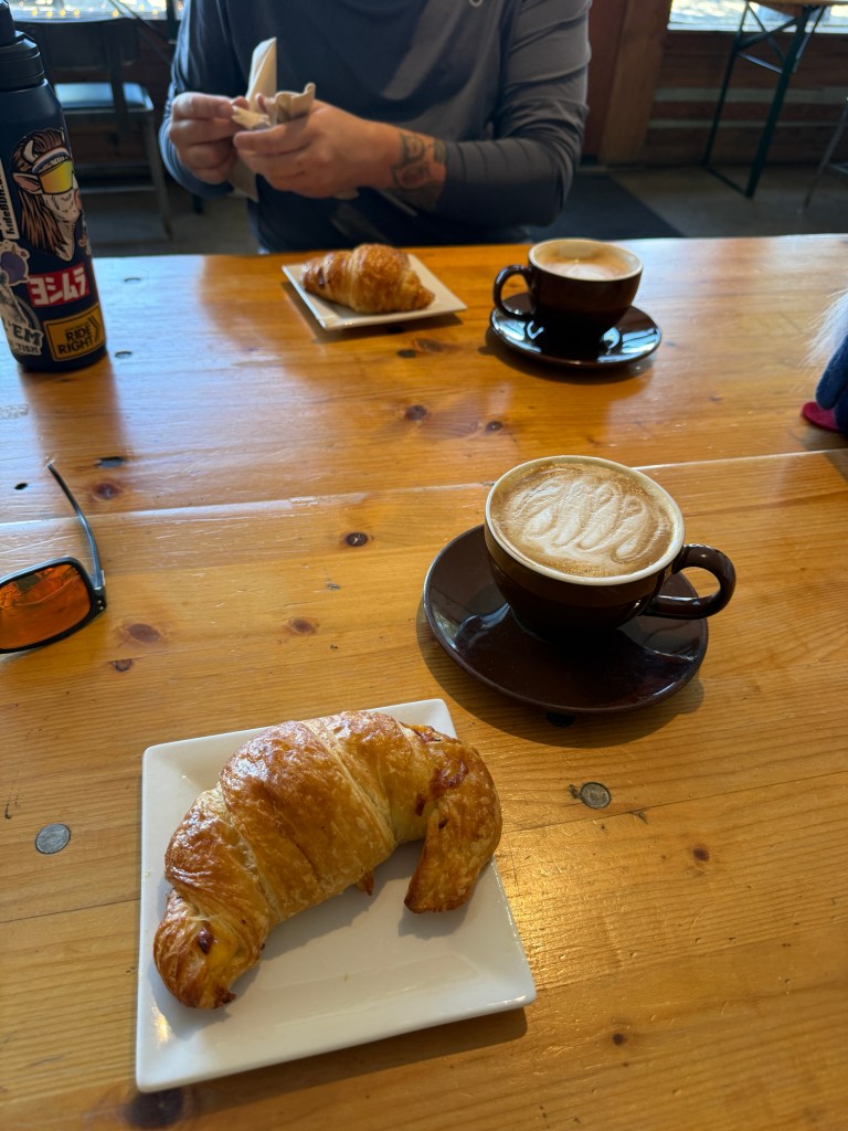
Day 4 was a short one. We woke up… packed… grabbed coffee… filled up with gas… and parted ways. Mike and David headed north, back to Seattle via WA-BDR Section 1, and I headed west back to Portland.
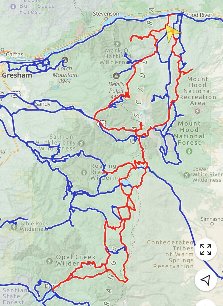
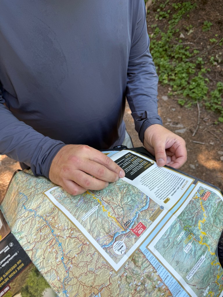
The red line was our track — 462 miles of mainly dirt trails.
Alex and I met up Saturday morning for some coffee before starting our camping trip in Mount Hood National Forest.
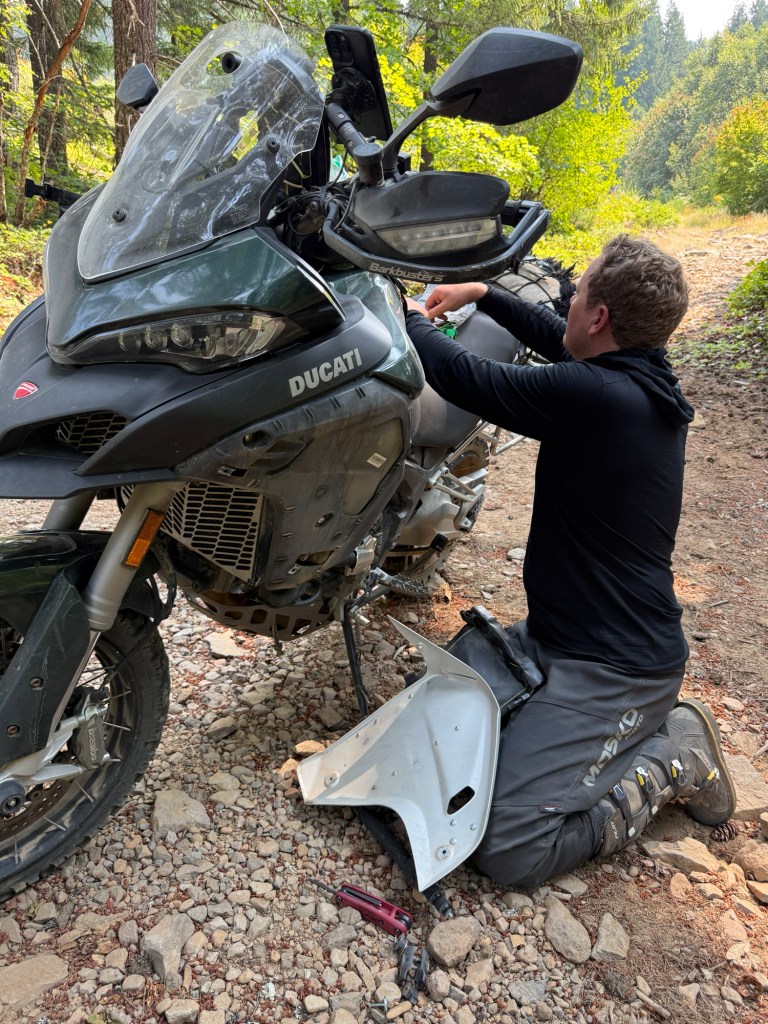
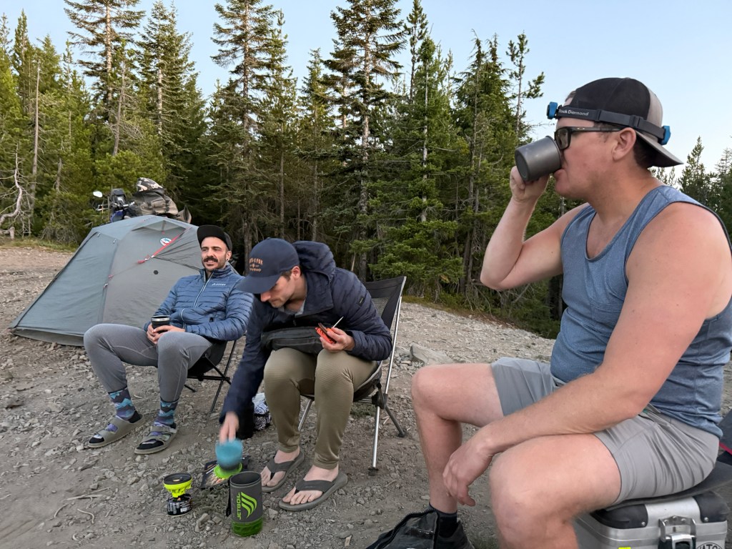
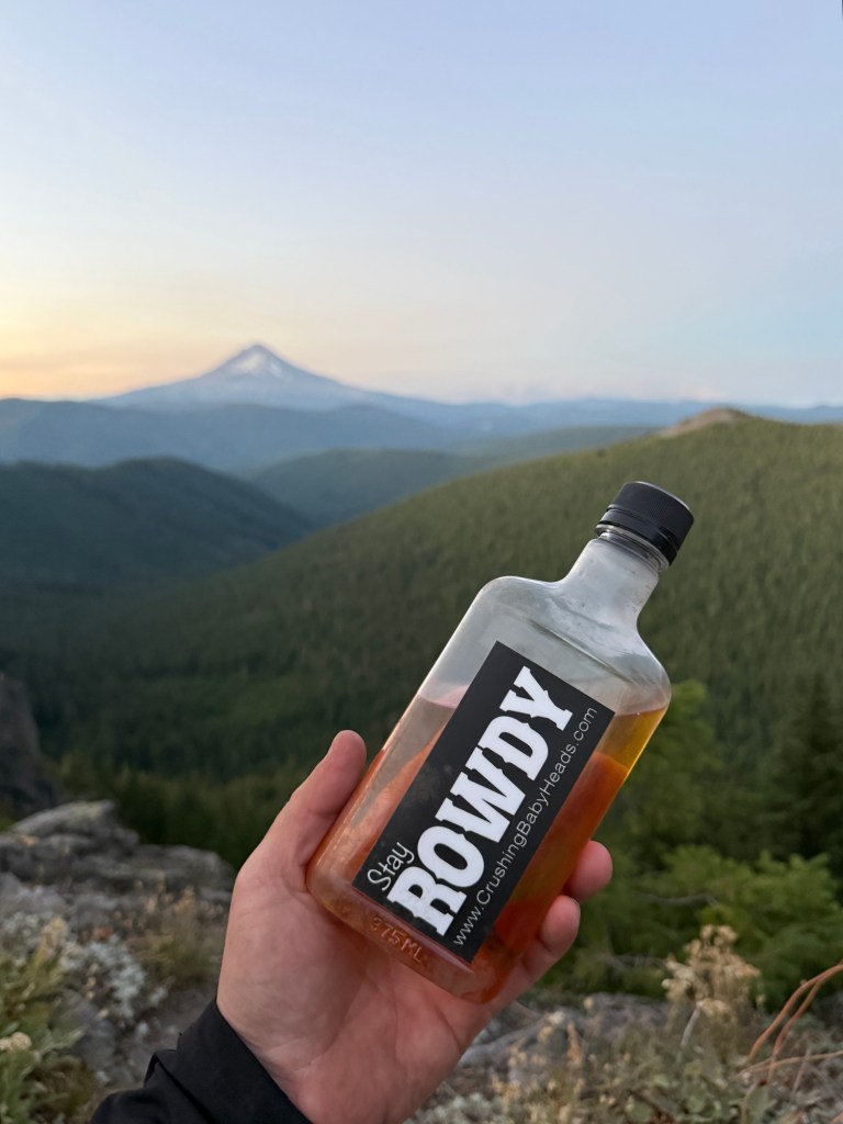
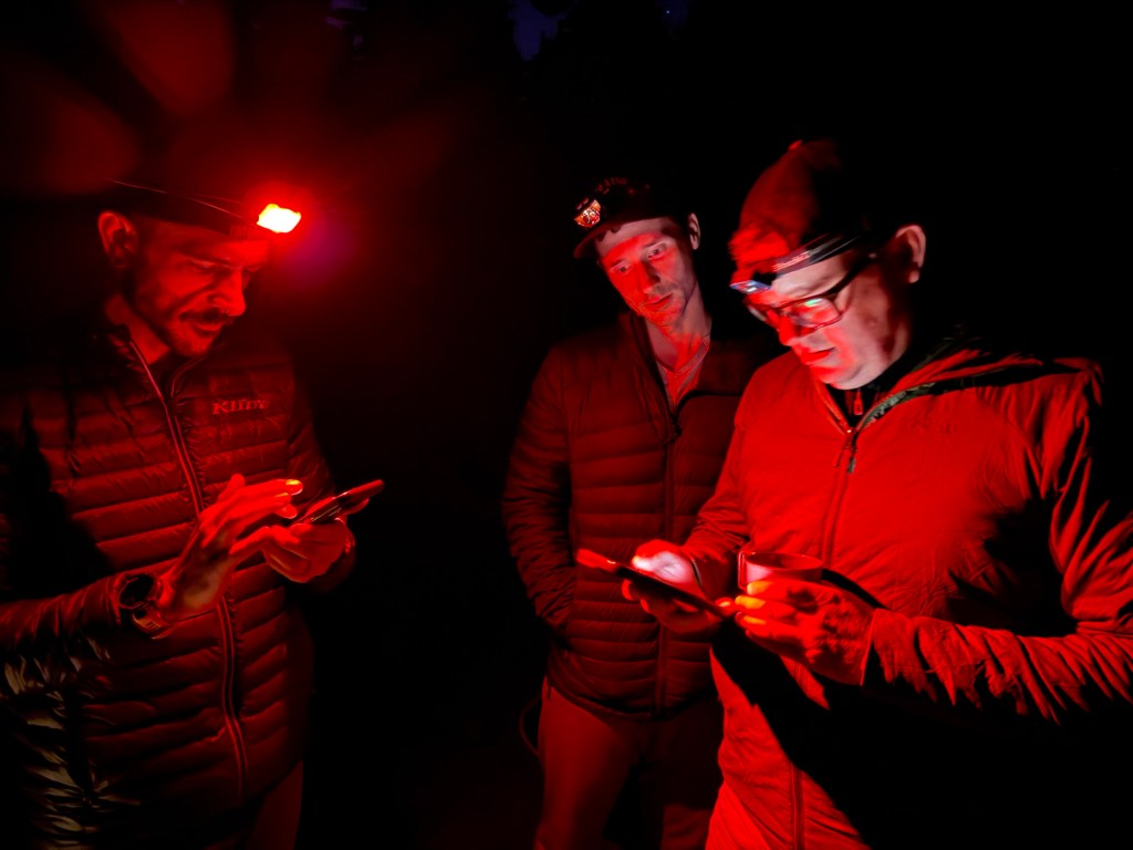
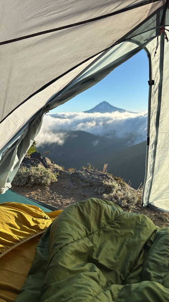
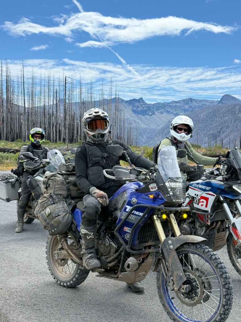
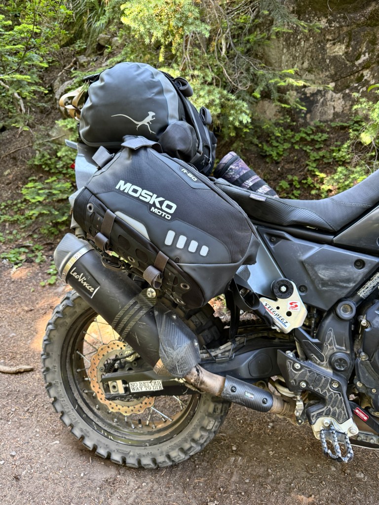
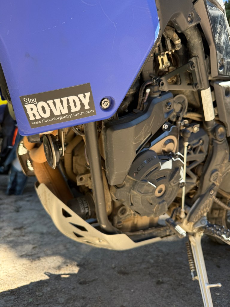
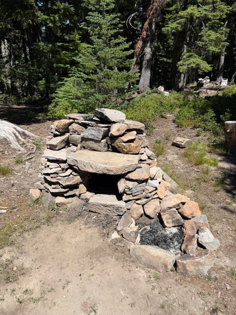
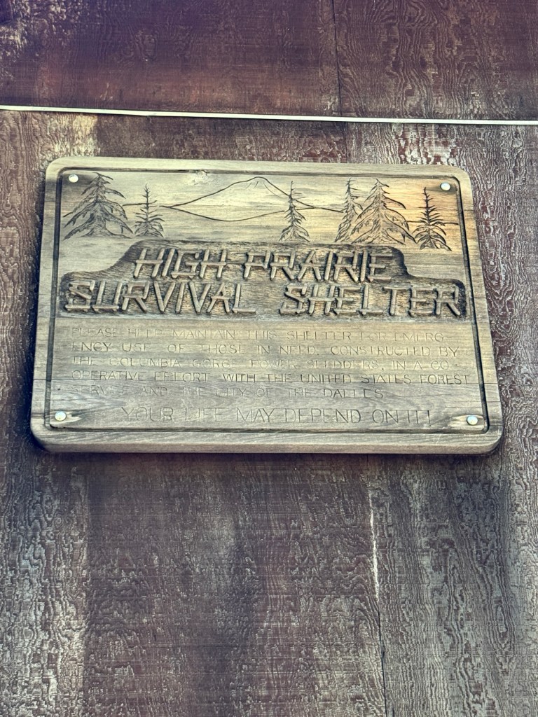
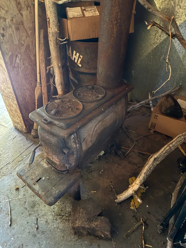
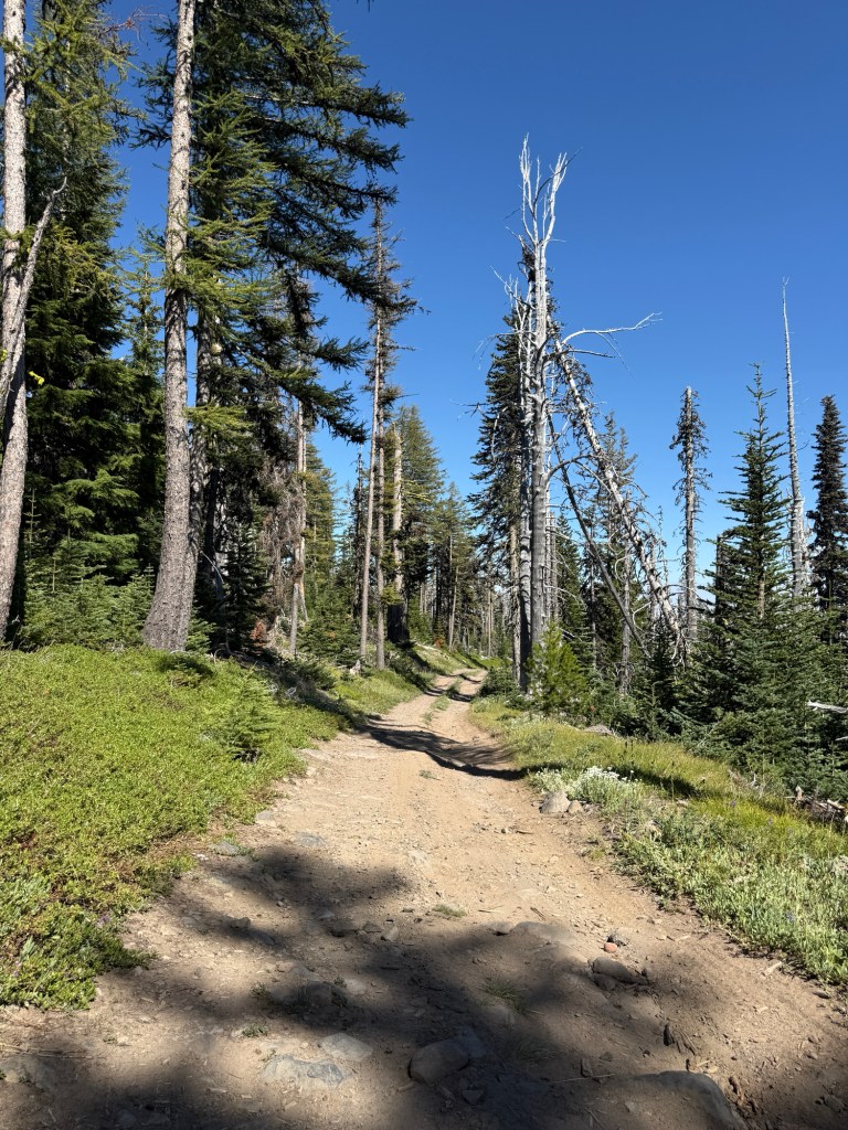
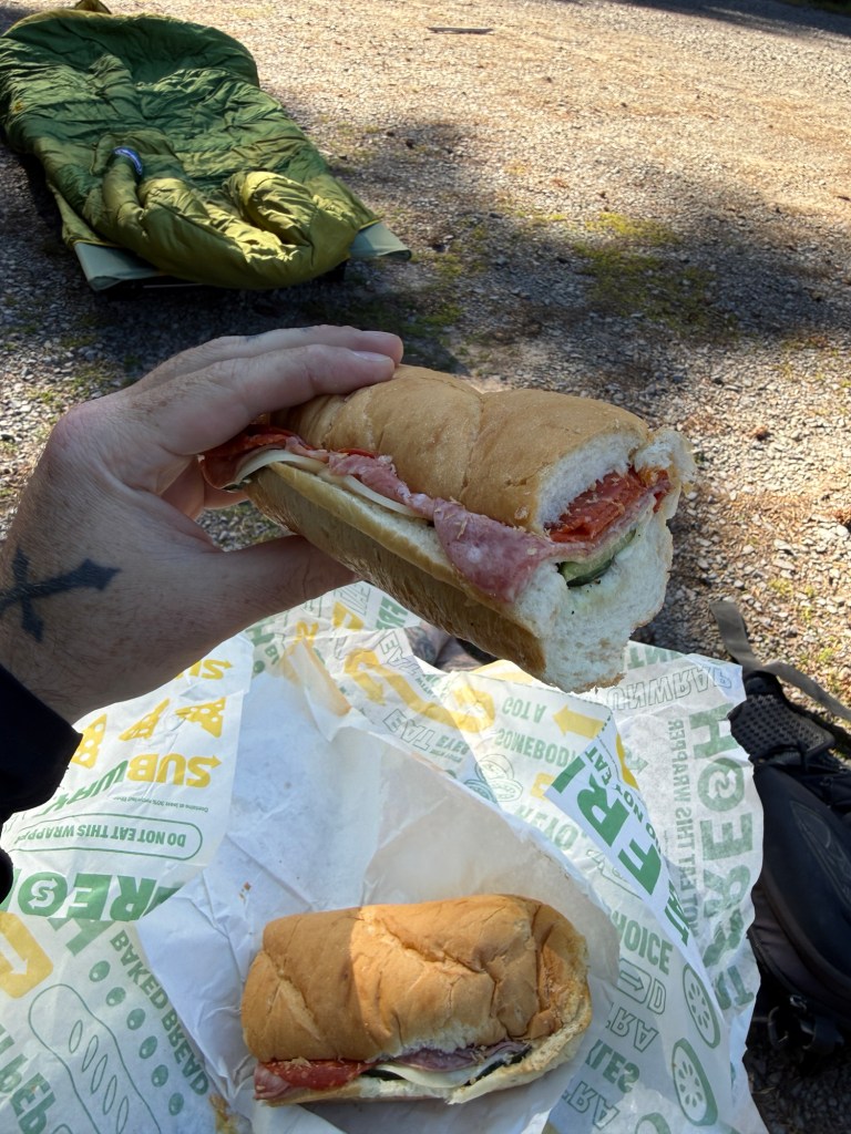
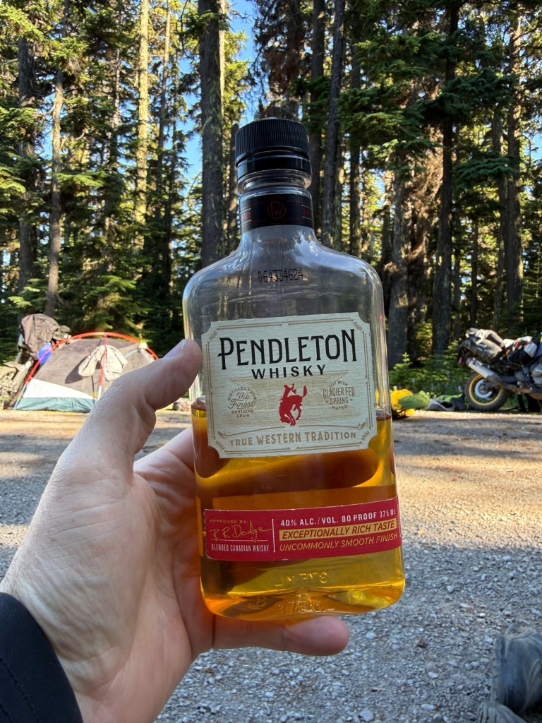
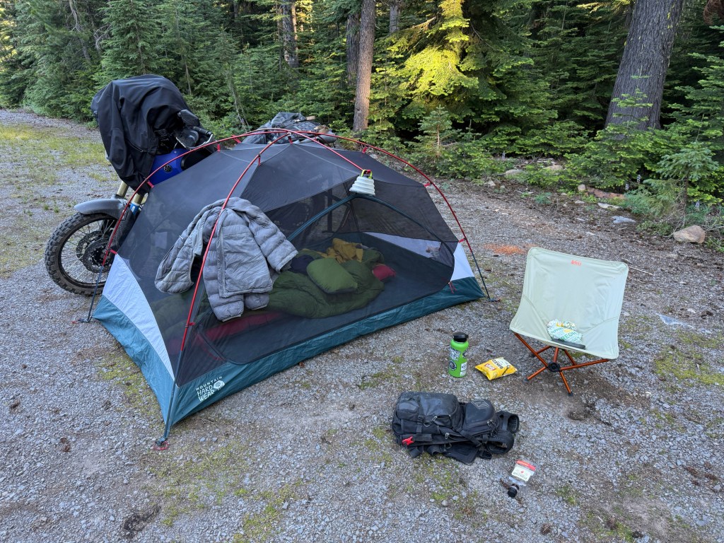
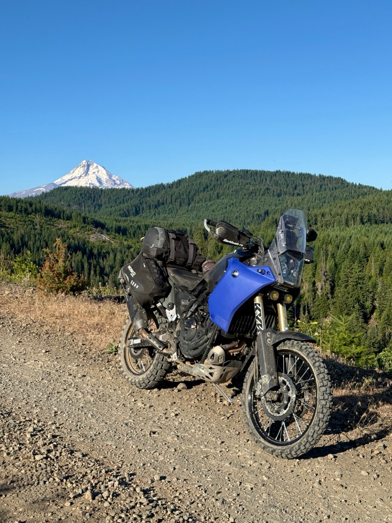
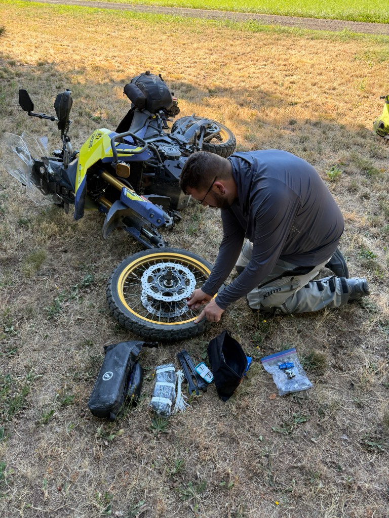
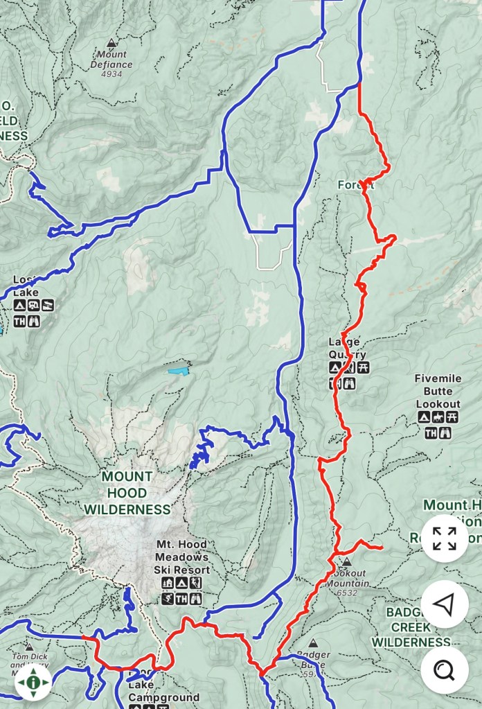
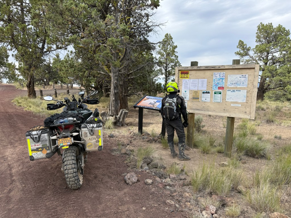
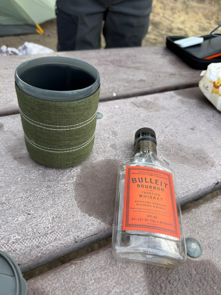
AntFarm Cafe & Bakery in Sandy, ORI was testing my new Mosko Moto Reckless 80L panniers. I’ve had the Reckless 40L for over 3 years and I finally decided to get a larger set to alleviate some unwanted “overpacking” in the beavertailI created these “Crushing Baby Heads” decalsI usually take an obligatory pissing photo, but I was blessed with this golden opportunity! Apparently Alex wasn’t as amused as I wasI installed some blue Camel-ADV side fairings, and I also changed my yellow Barkbusters to black onesAlways tryin’ to get the shotUnfortunately, I don’t remember the two guys names we met on the trailHigh Prairie Survival Shelter“HIGH PRAIRIE SURVIVAL SHELTER. Please help maintain this shelter for emergency use of those in need. Constructed by the Columbia Gorge Power Sledders, in a co-operative effort with the United States Forest Service and the City of The Dalles. YOUR LIFE MAY DEPEND ON IT!”This shelter didn’t have a lock on the door, and was full of some lifesaving supplies; a fire stove and fire wood, sleeping pads, an axe and saw, a few blankets, and even some canned foodPro tip: to avoid bringing all your cooking gear, just bring a subway sandwich insteadDid you know Pendleton is made in Canada… and Canadians spell Whisky without an “e” because of their British and Scottish roots?! And the United States spells Whiskey with an “e” because of our Irish roots?!Alex (IG: @Alex.Bays)Morning views from my tentThis was a “shitty” view compared to all the other amazing views on this SectionAs soon as we were finished riding on dirt and got on pavement, Alex noticed his front tire was flat! He swapped out his tube, and quickly realized the new tube got pinched during install and wasn’t holding air either. Luckily I had a spare tube alsoThe red line was our route
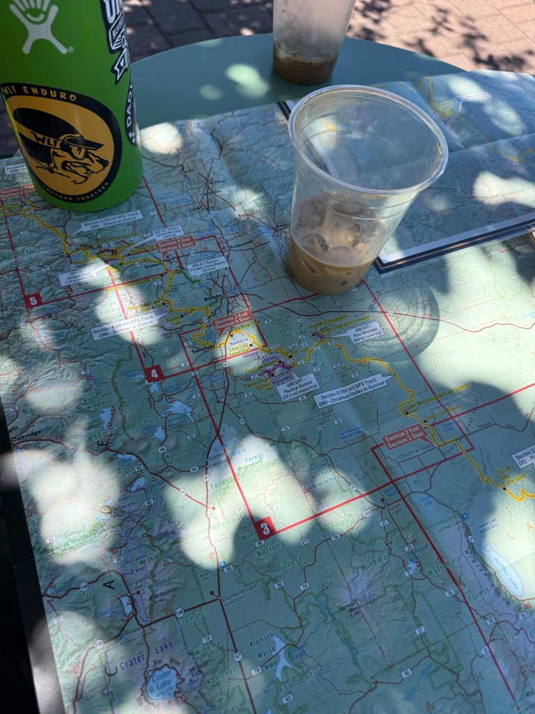
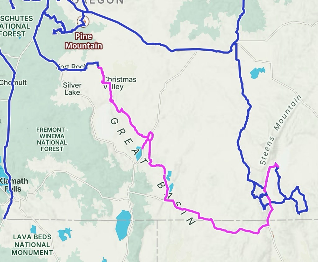
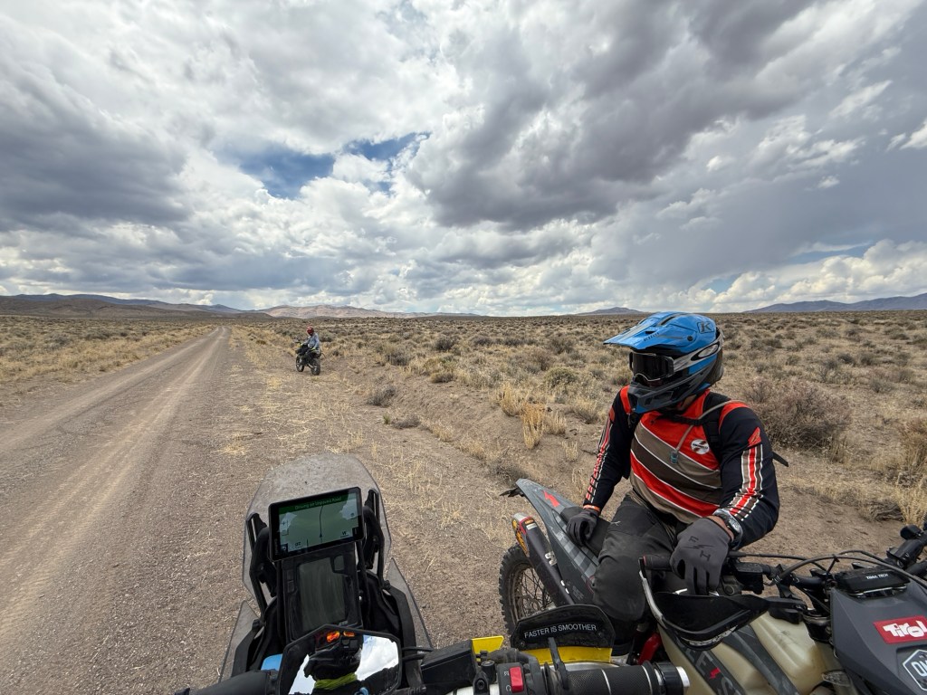
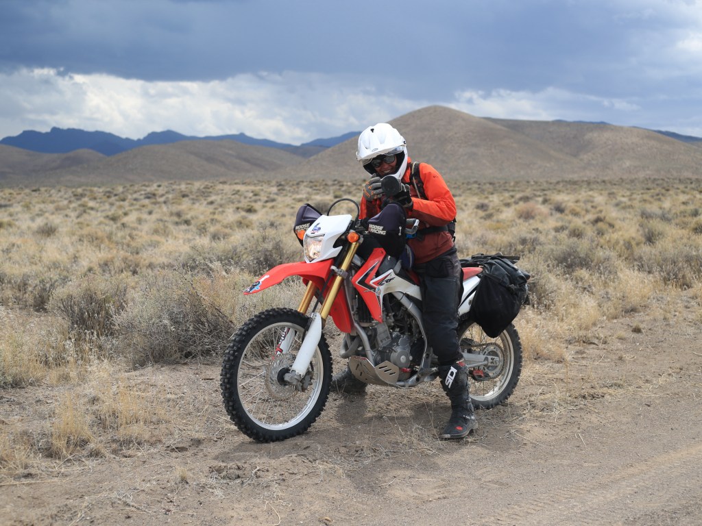
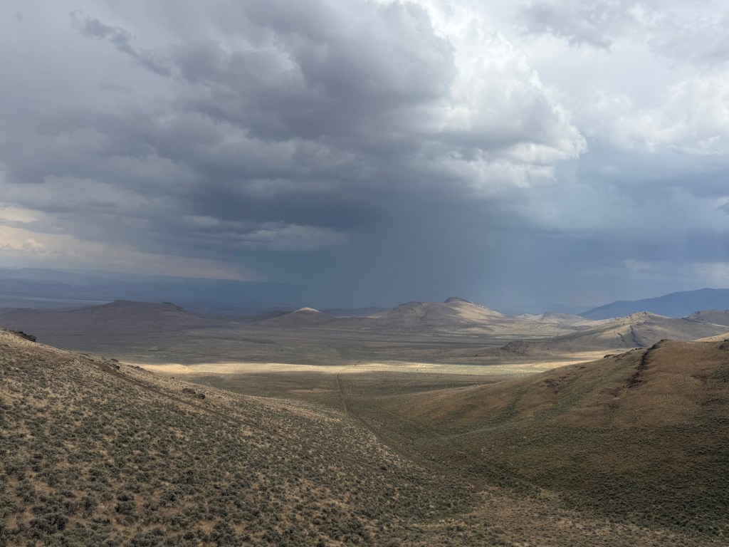
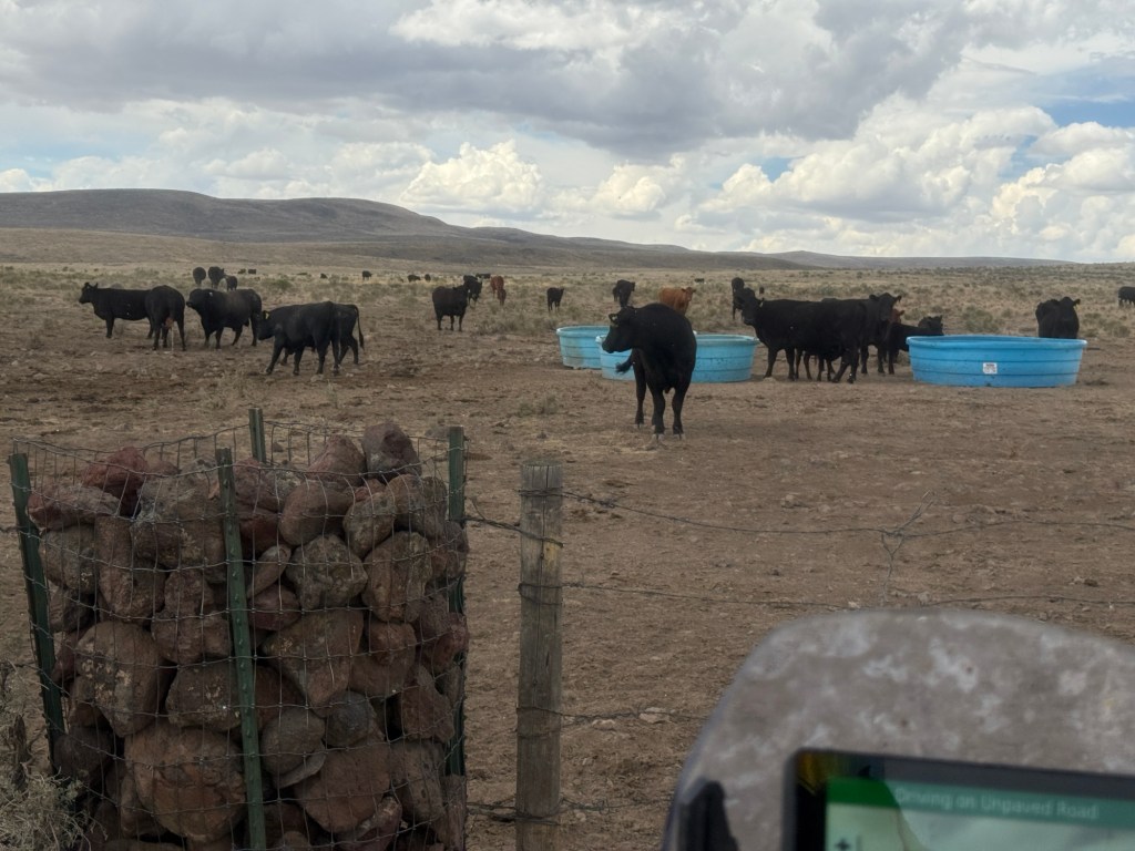
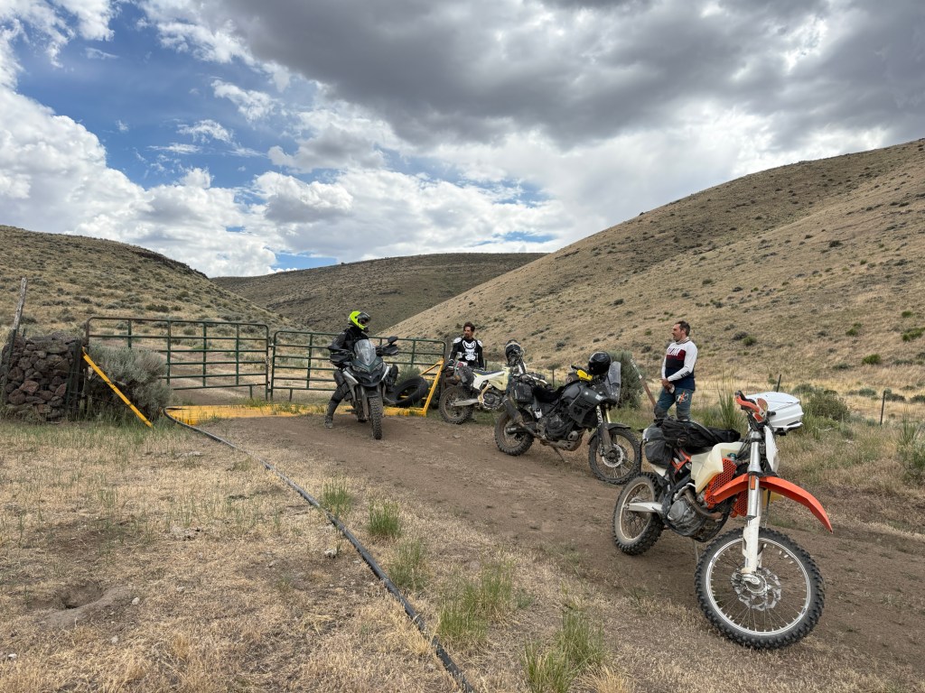
Blaine and I bought our tickets to The Unrally— which is in the Alvord Desert. We decided to take a few extra days and ride some of the Oregon Backcountry Discovery Route (OR-BDR) to get down there.
Blaine lives in Sisters OR, which happens to be where BDR Section 4 ends… so that’s where our adventure begins.
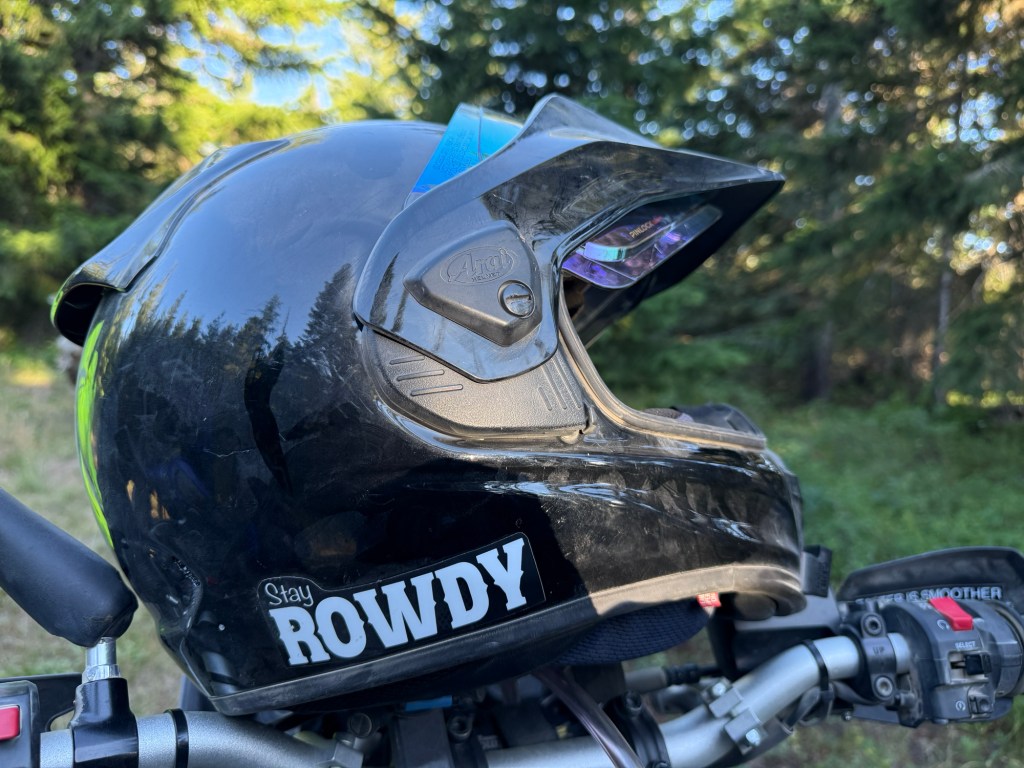
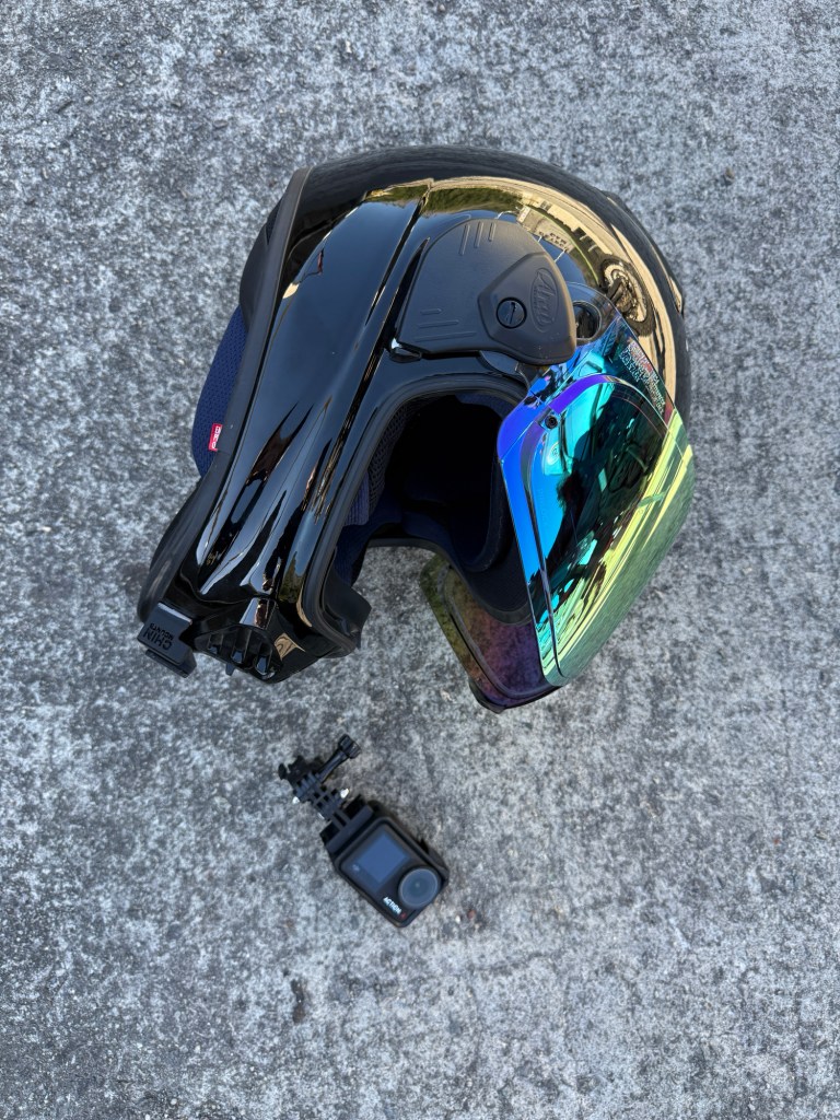
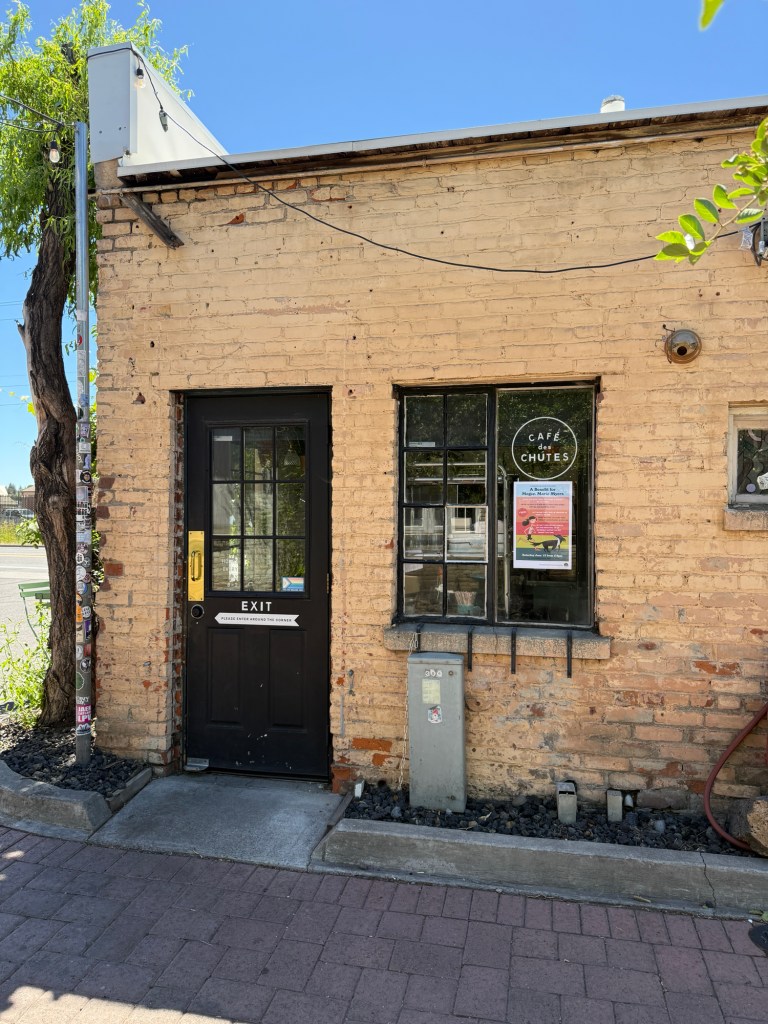
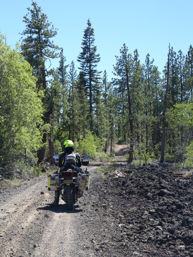
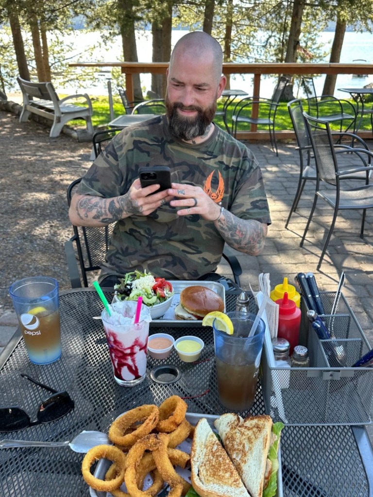
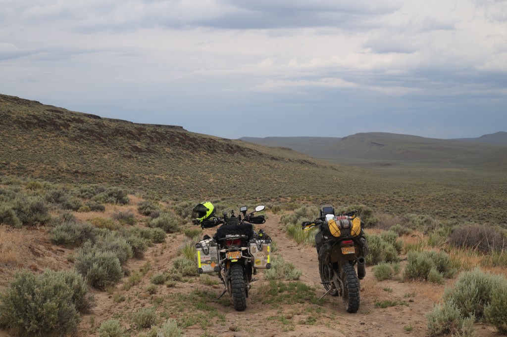
The trip started with dropping my new helmet and breaking the action camera mount at 6amThis is within the first 30 minutes of BDR Section 4We stopped at Café des Chutes for coffee and breakfastLava Fields on BDR Section 3Lunch at Blue Duck Grill in La Pine (East Lake)We rode up to Paulina Peak
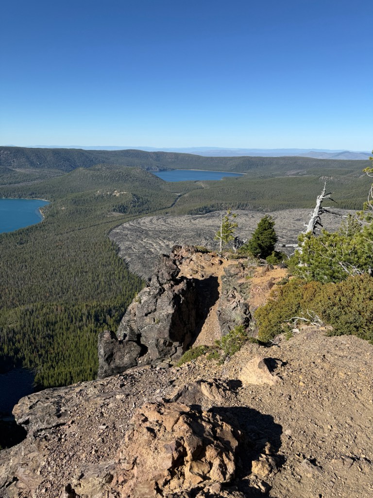
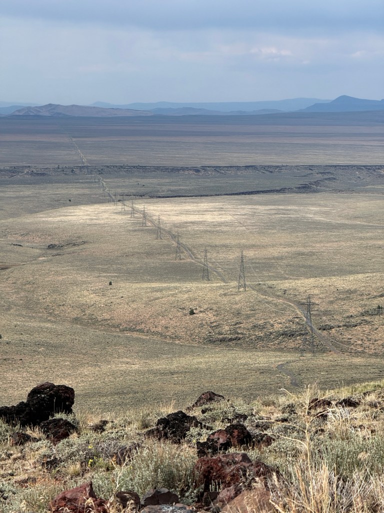
Paulina Peak sits at 7,984 ft above sea level. From here you can see the Newberry Calderas, the twin lakes (Paulina & East), and a large expanse of hardened lava.
“The Big Obsidian Flow” is Oregon’s youngest flow, which was formed 1,300 years ago.
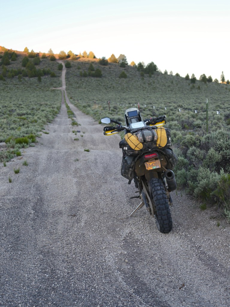
As the sun was setting, we were looking for a camping spot… preferably with a viewHeading to Pine Mountain Campground
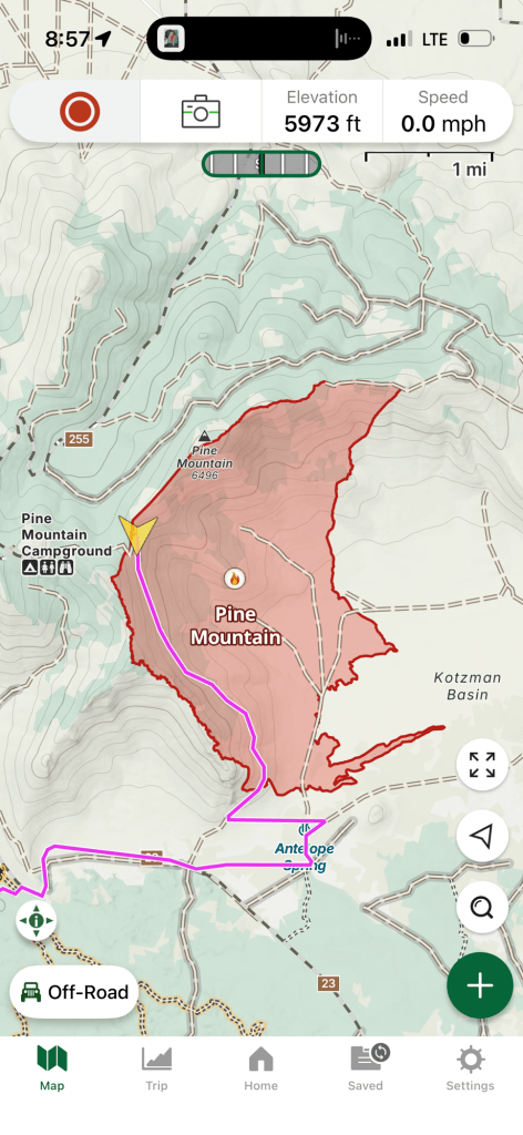
The “Pine Mountain Fire” burned 2,589 acres of Deschutes National Forest —and technically speaking— it was still considered “active” while we rode through it (unbeknownst to us at that time).
So tired I was making careless mistakes
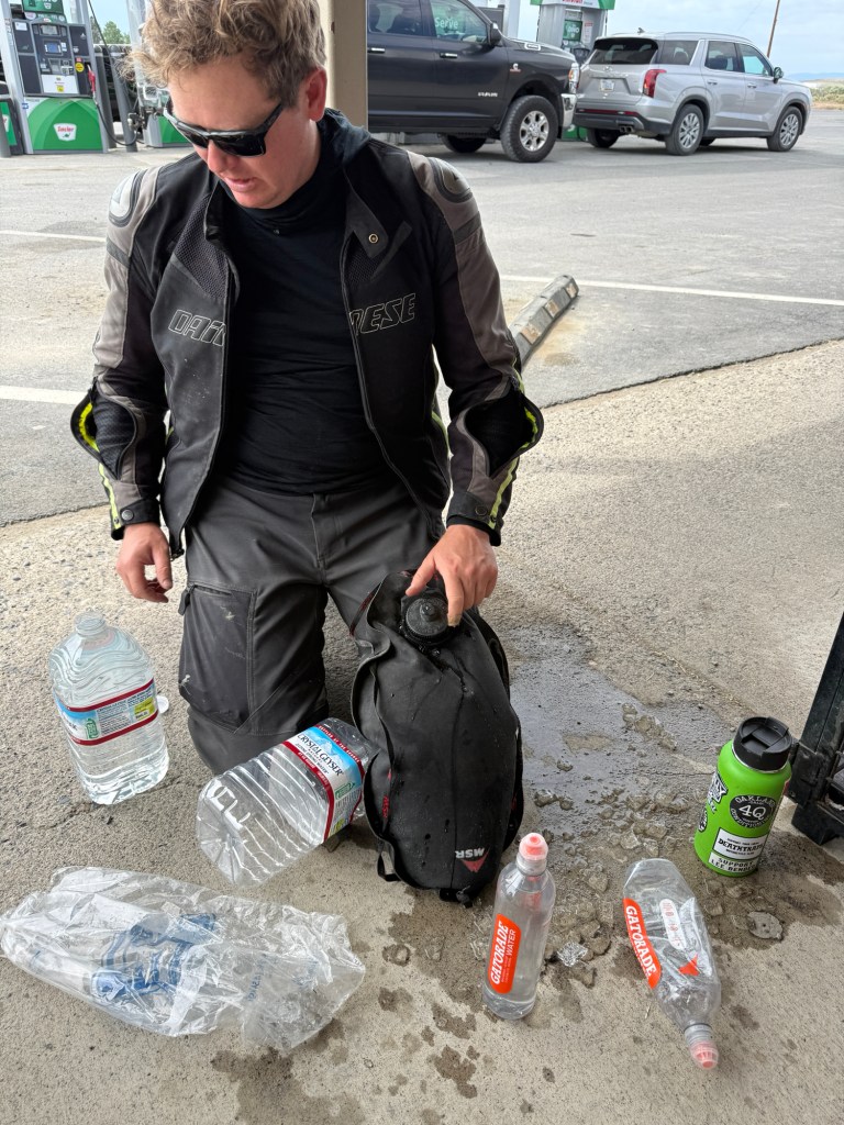
At this point, I’ve been on this adventure for about 14 hours (realistically, with about 10 hours of actual riding-time).
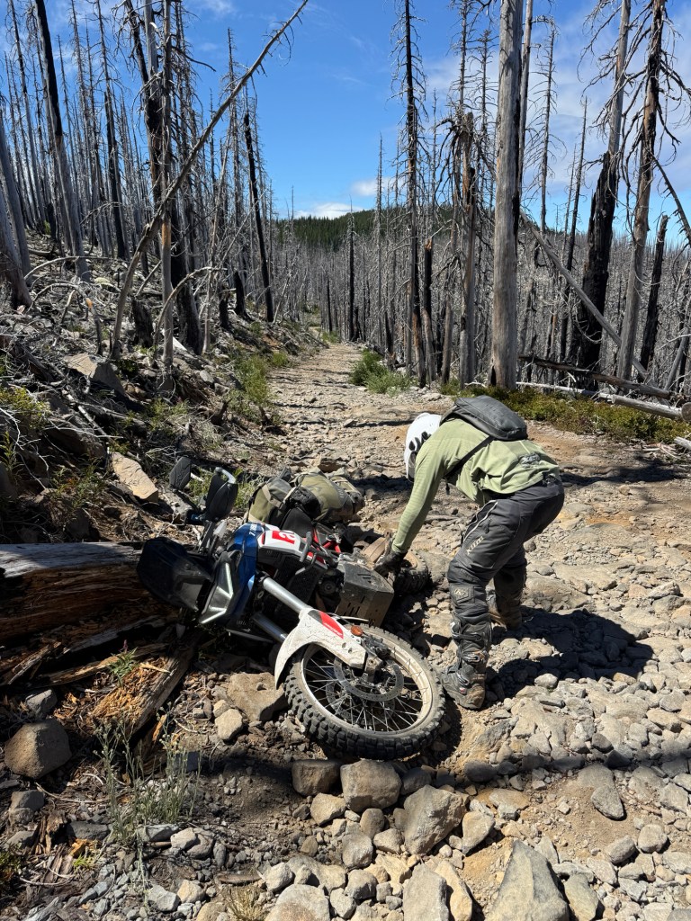
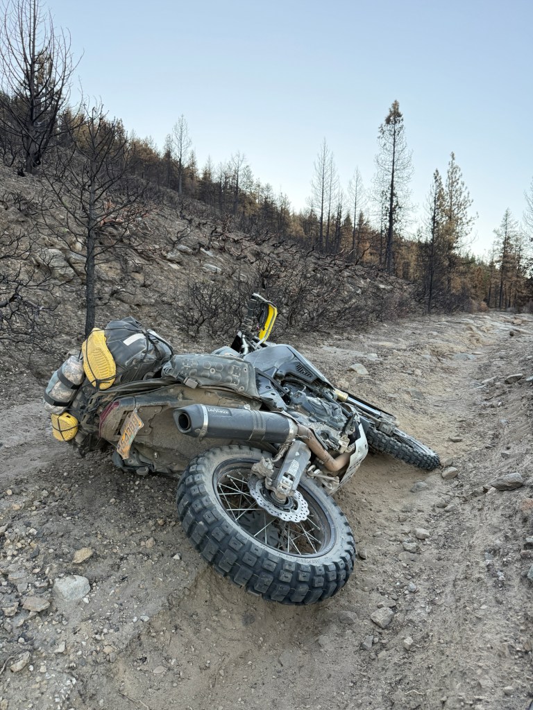
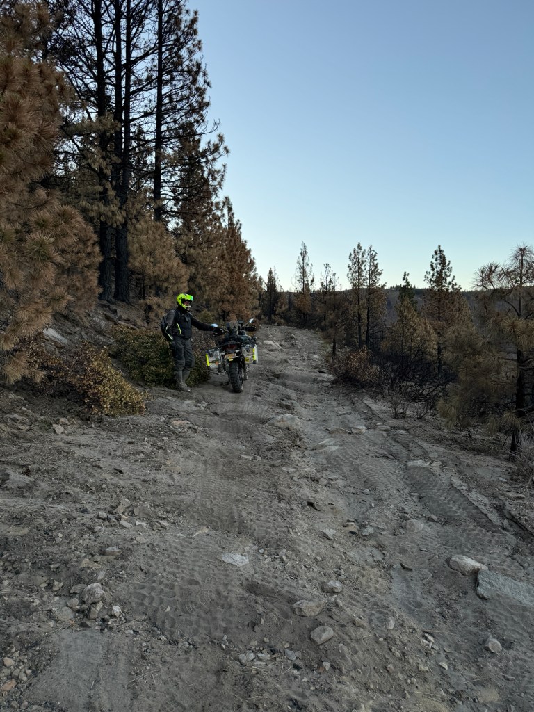
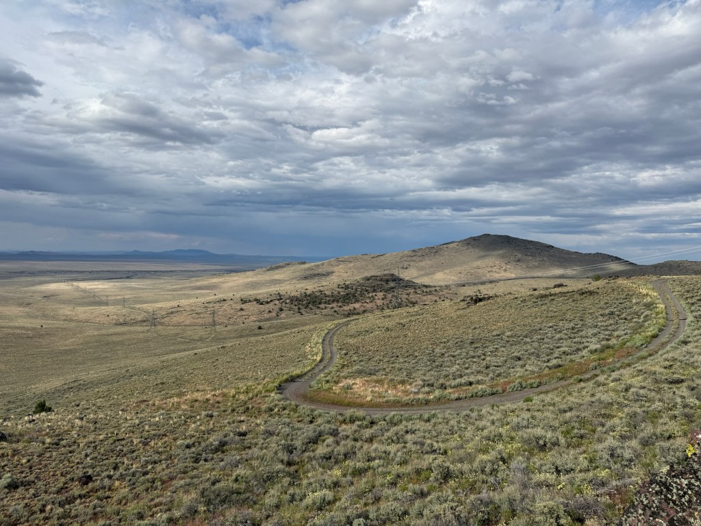
This hill sucked to navigate! The fire really destroyed this mountain. It had loose dirt, little rocks, baby heads, roots, large ruts, dead trees, very steep, and a cliff on one side.
Blain pulled over to take a photo, and in order to not lose momentum, I kept riding up the hill. When I got to a safe spot to stop I waited for Blaine… but I never heard his bike coming. A few minutes later, he called and said his bike wouldn’t start!
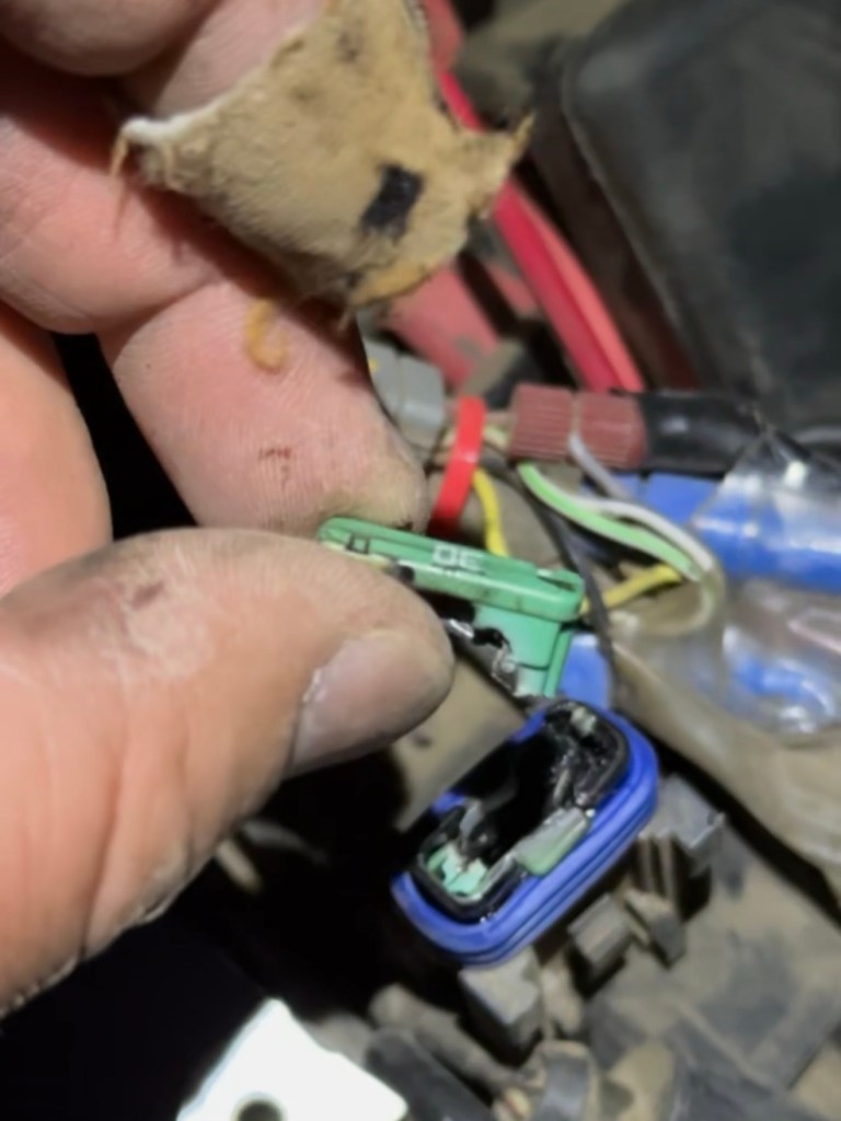
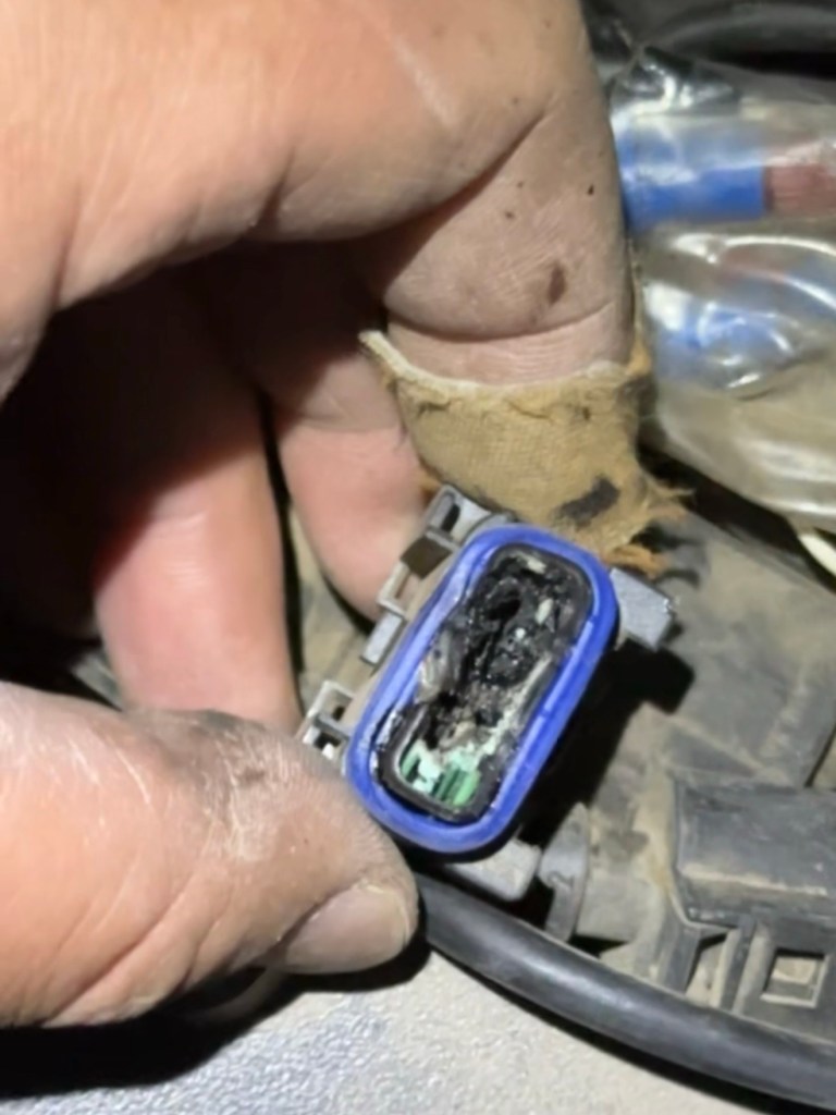
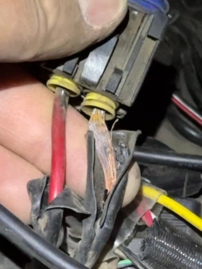
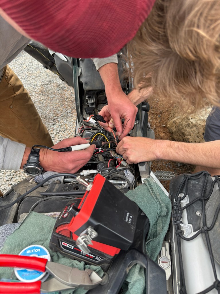
I was about a mile up the hill when Blaine found his Main 30 Amp Fuse completely blown.
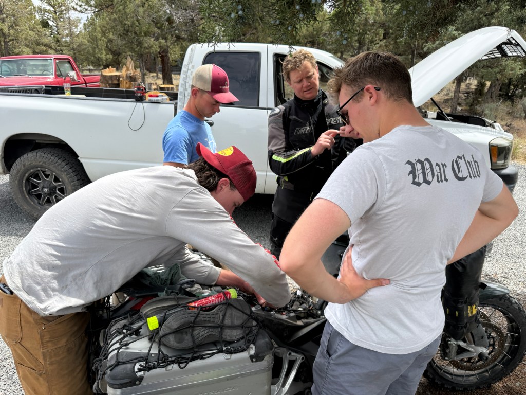
After a lengthy conversation, we decided to both stay put and get some rest.
The sunset on this mountain didn’t disappoint
I was sleeping next to my bike when I was woken up (about 10:30pm) by the rumbles of a truck coming down the hill. Luckily, these two guys were looking for a camping spot when they passed by me. I told them about Blaine, and they said they’ll try to help him. I went back to sleep and about an hour later, I was woken up again — but this time by the sounds of Blaine’s motorcycle.
Since I already had my “camp” setup, I decided to just go back to sleep. Blaine continued up the hill in search of Pine Mountain Campground.
About an hour after Blaine waking me up, the truck with those two guys woke me up again — they were also heading to the same campground as Blaine.
They were able to wire up his bike and bypass the fuse to get it started. Their game plan was to ride/drive down the hill and buy some supplies at the auto parts store after some much needed breakfast.
I slept like shit and woke up with the sun. I packed my bike and rode up the hill to that campground first thing in the morning.
Apparently there were 5 observatories next to Pine Mountain Campground as wellBlaine made it down the hill to O’ReillyHunter and Jack (IG: @_JackHartley)
The two guys with the grey shirts are the ones that rescued Blaine. Hunter is a diesel mechanic, and Jack is an aviation mechanic for the USAF.
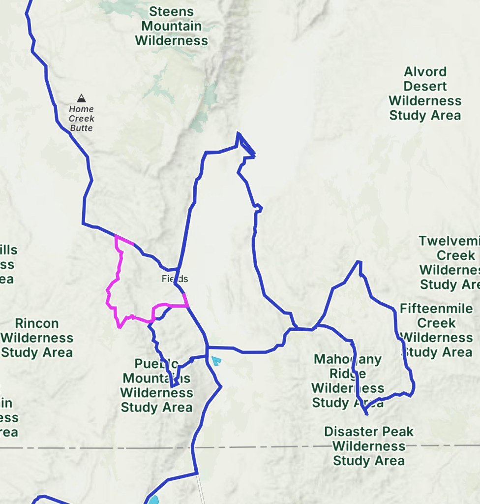
After yesterday’s long day, we decided to call it an early nightNew day, new campsiteGreen Mountain Campground Day 2: approx 150 miles (pink line)
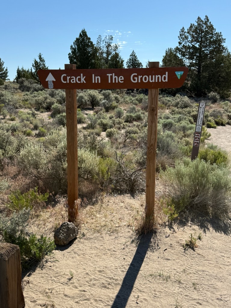
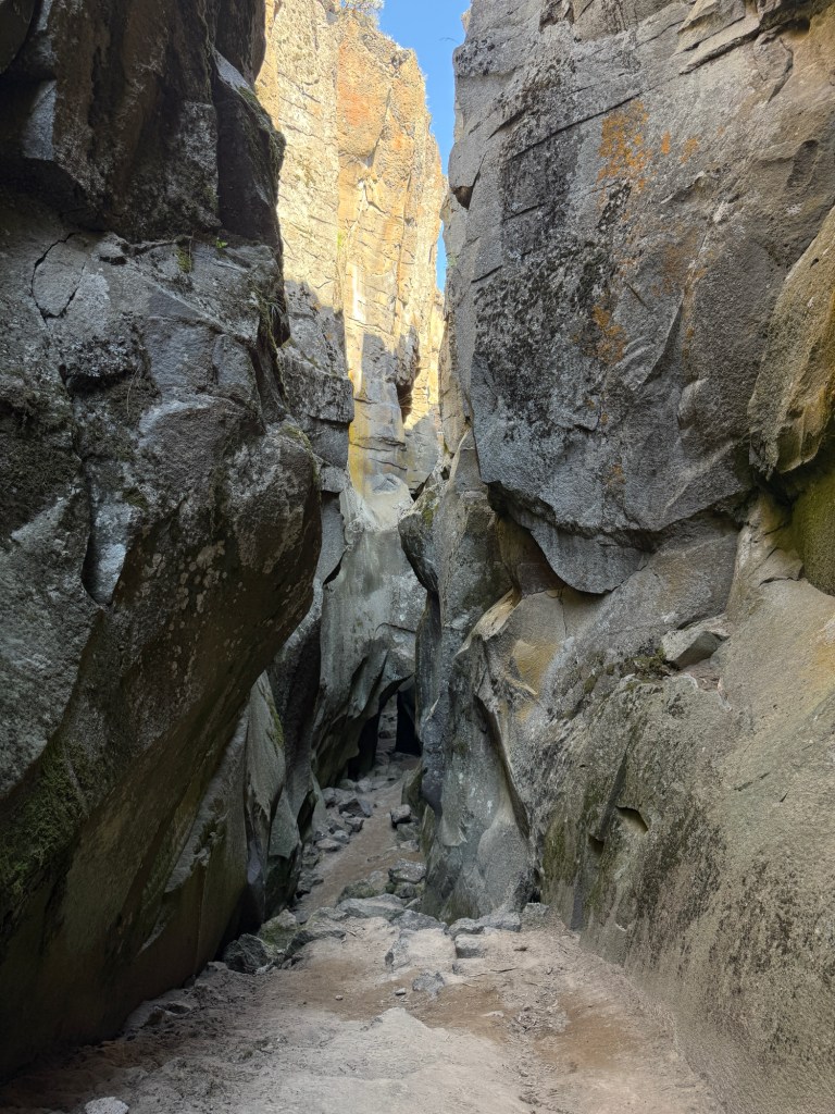
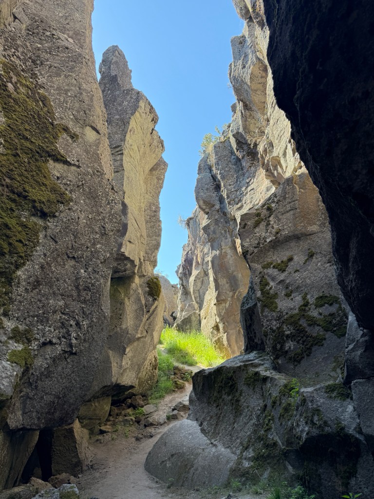
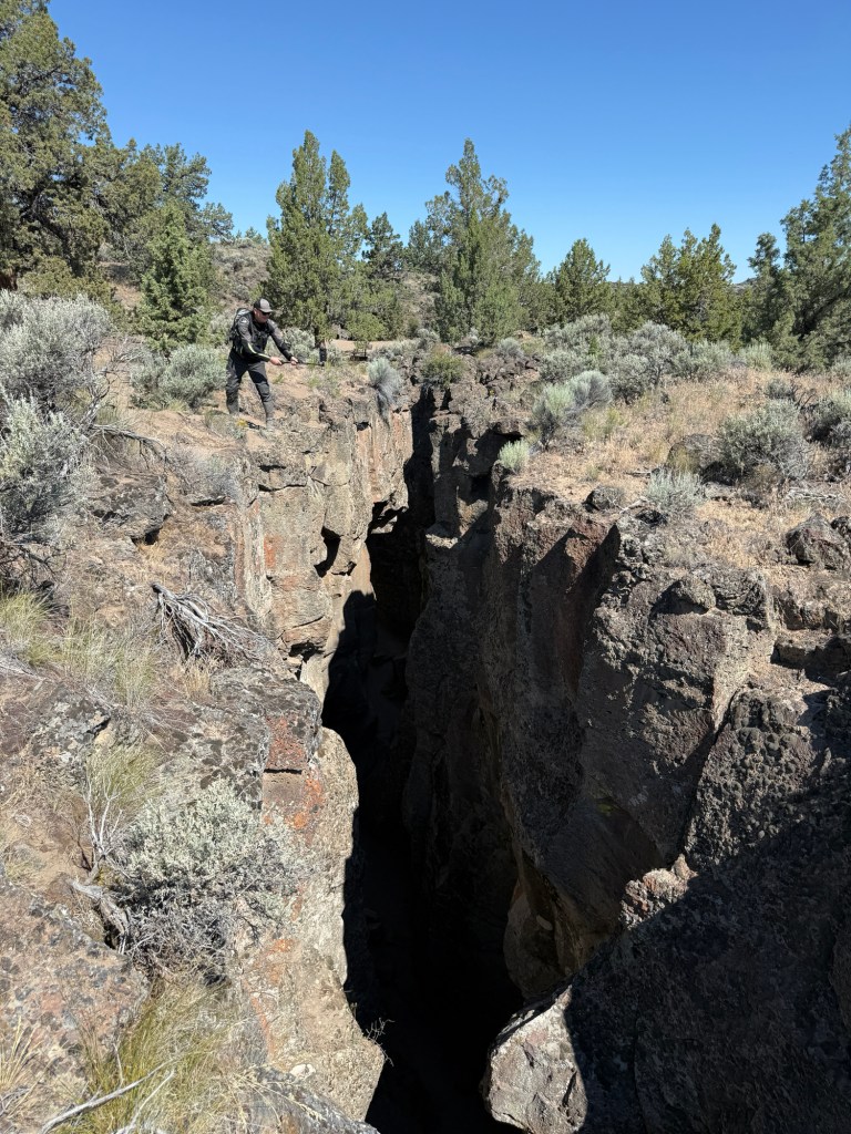
Crack-in-the-Ground was only a few miles from our campsite. And although the temperature was already heating up, we decided to check it out
Crack-in-the-Ground is a 2-mile volcanic fissure located in Christmas Valley, OR. It was formed by tectonic activity and lava flow. The rift (“crack”) is up to 70’ deep, and the climate is typically 20° cooler — which is refreshing when it’s already 90° out.
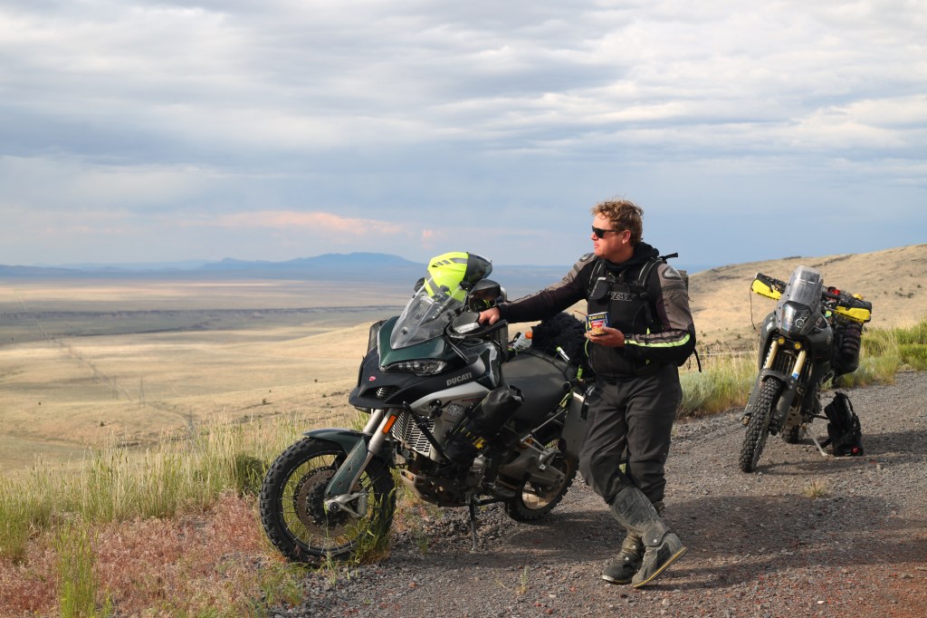
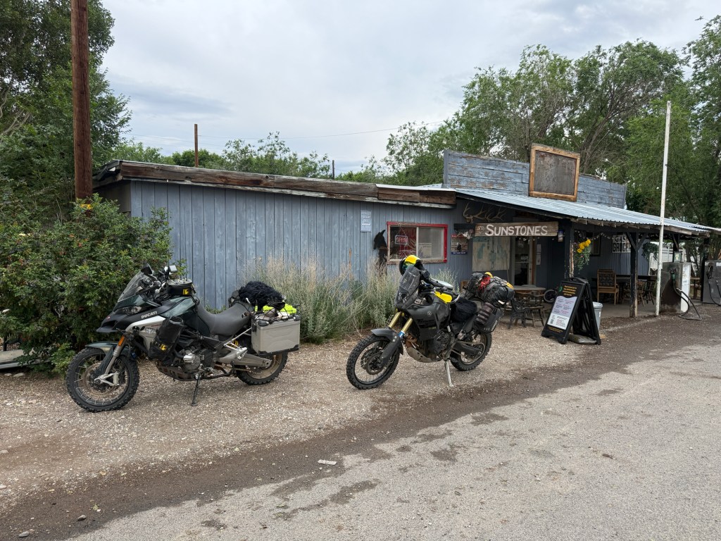
90° outside means 70° in hereThis is Blaine at every gas stopBlaine (IG: @Blaine_Rides)Obligatory pissing photoWe stopped at the “Hart Mountain Store” in Plush, OR for some dinner My gas gauge was flashing “E” for several miles when we finally rolled into Denio Junction, NV for some gas
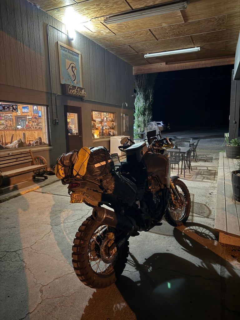
I was pretty cold and tired. This bar was “closed” although there were still people inside hanging out and drinking. I walked in the bar hoping to buy a rain jacket to stay warm and dry but they didn’t sell any merch. Instead, the bartender gave me his personal hunting sweater.
A double-shot of Makers Mark later, and I was back on the bike, and down the road.
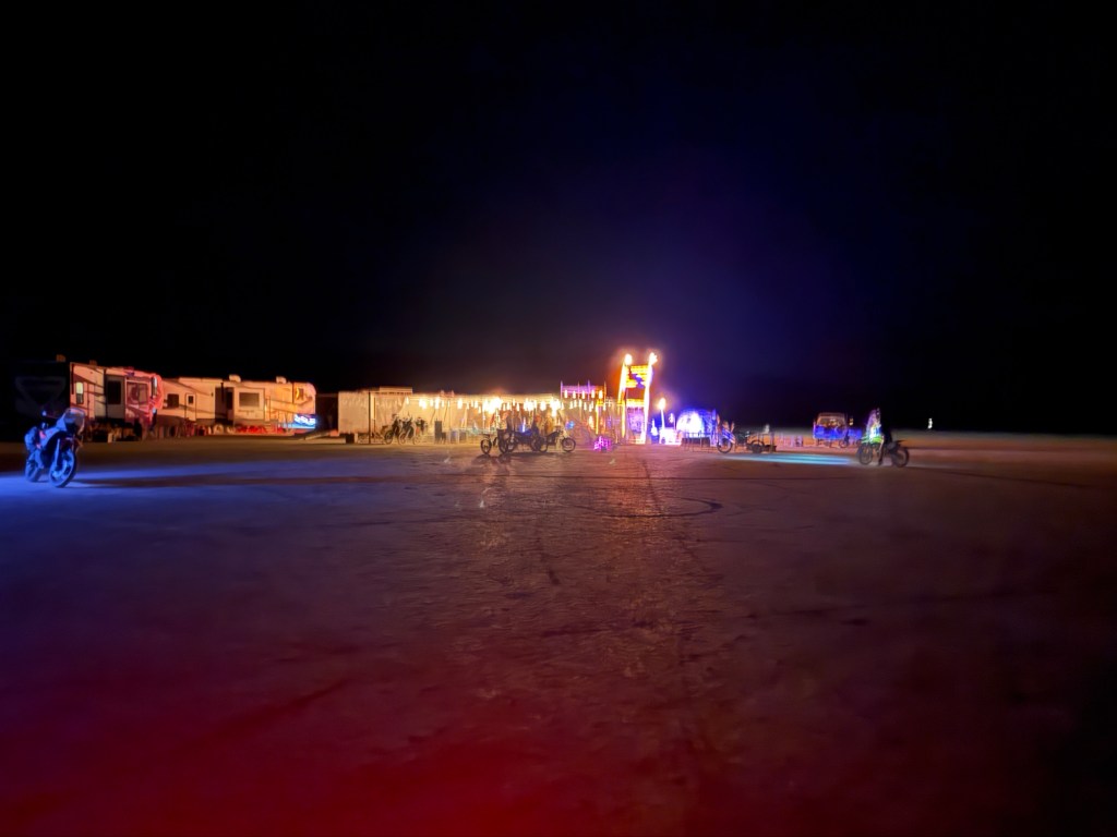
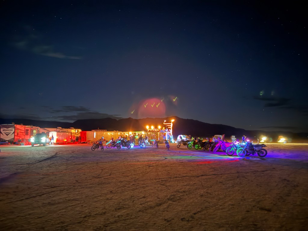
We made it to Alvord Desert about 11pmDay 3: approx 300 miles (pink line)
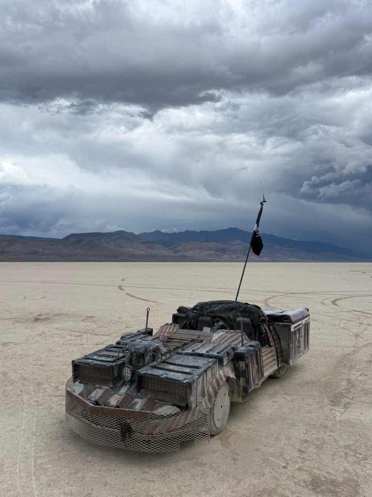
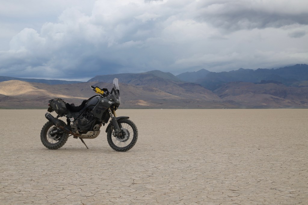
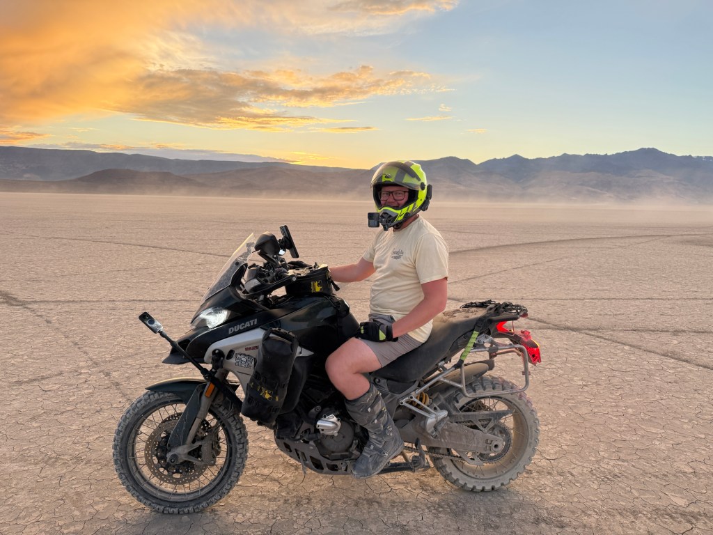
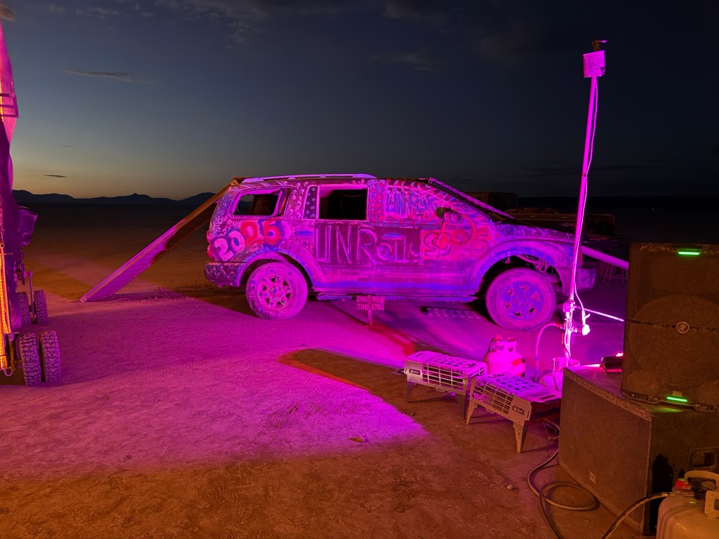
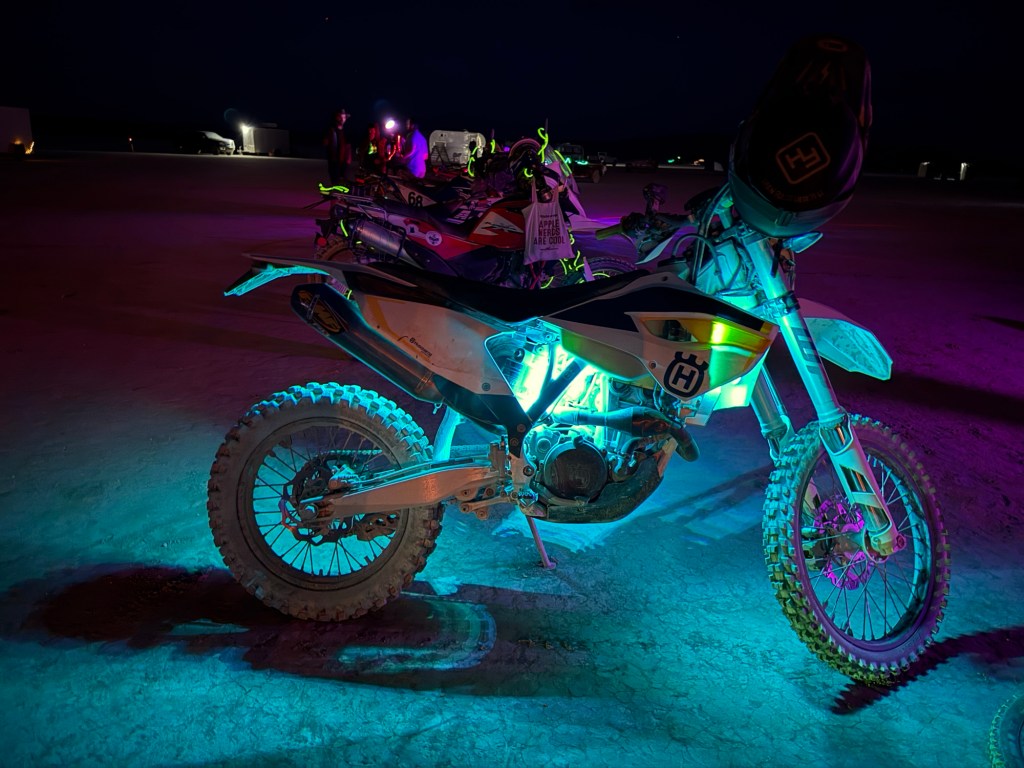
The Unrally is an ADV counterculture event held in the magical Alvord Desert. This is their 11 year anniversary — and my 2nd time attending.
The Unrally is a combination of self-guided scenic rides, rugged landscape, art installations, and self-expression, while building a community which revolves around motorcycles and grand adventure.
Alvord Desert is dry lake bed located in Southeast Oregon. It’s approximately 12 by 7 miles, and sits at the foot of Steens Mountain.
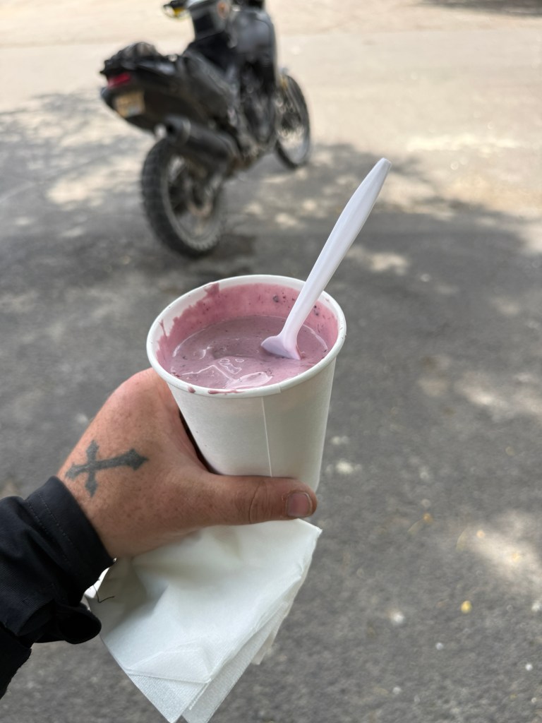
The outpost/town of Fields has a population of 10 people, and is about 25+ miles away. Fields Station General Store is known for having world famous milkshakesThere’s some people you meet and just can’t get enough of — Dave (IG: @DaveWachs50) is one of those people for me…… and this is Dave’s amazing wife Carrol (IG: @EnduroMum)I experienced the loudest thunder of my life while riding Domingo Pass Making friends on the trailDay 4: approx 100 miles (pink line)
Not all of The Unrally is glamorous; this year brought lots of big dust storms
Blaine and I had different plans for the day, so we parted ways in the morning. I hopped on the pavement asap and headed home, while Blaine rode some more dirt trails on his way back North.
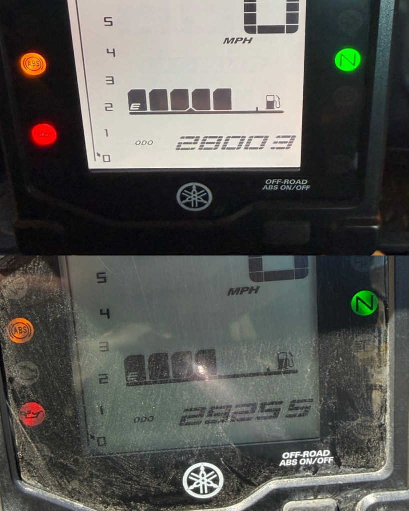
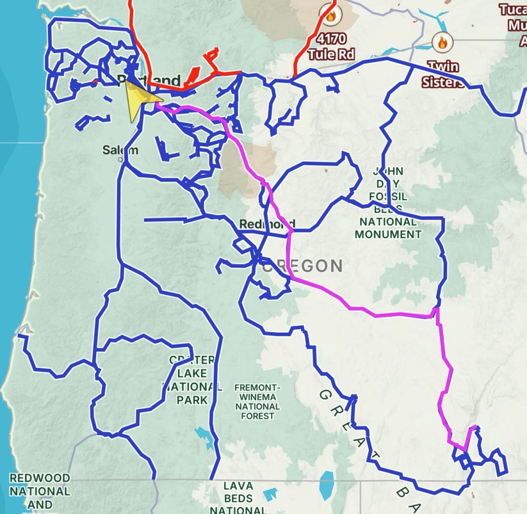
Total, door-to-door: 1,252 milesDay 5: approx 450 miles (pink line)
I’ve met Davin a few times at local bike events, although this was our first time riding together. It’s hard to stop for photos when you’re having a great time haulin’ ass on a trail.
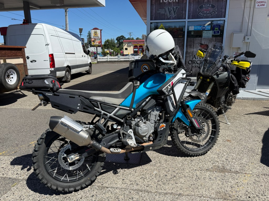
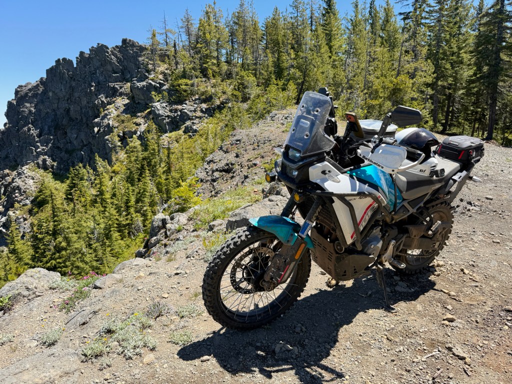
Davin’s CFMOTO IBEX 450
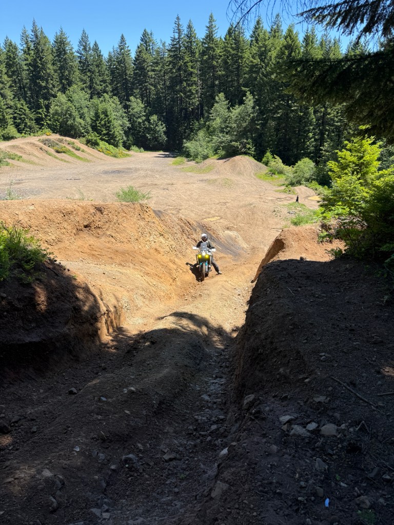
We decided to meet up at a gas station in Estacada before hitting my favorite trail. This trail has water crossings, sandy mud, loose rocks, hard-pack, a large road wash-out, deep ruts, a fun gravel pit, and lots of amazing views!
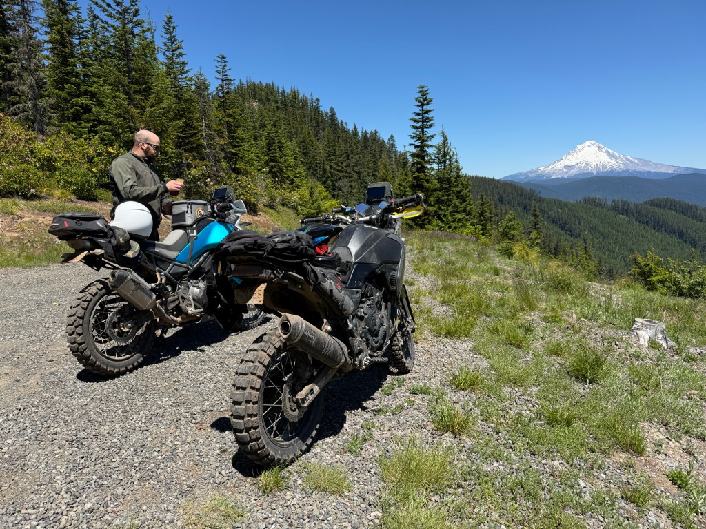
Davin (IG: @MotoGluten)Water break, with Mount Hood in the background“High rock”Our bikes are on the left. In the back is Mount Saint Helen’s, Mount Adams, and Mount HoodWhile riding through Sandy, OR my buddy Alex called and told me he just saw me pass by. So he grabbed some lunch with us at the food cartsThe red line was today’s ride
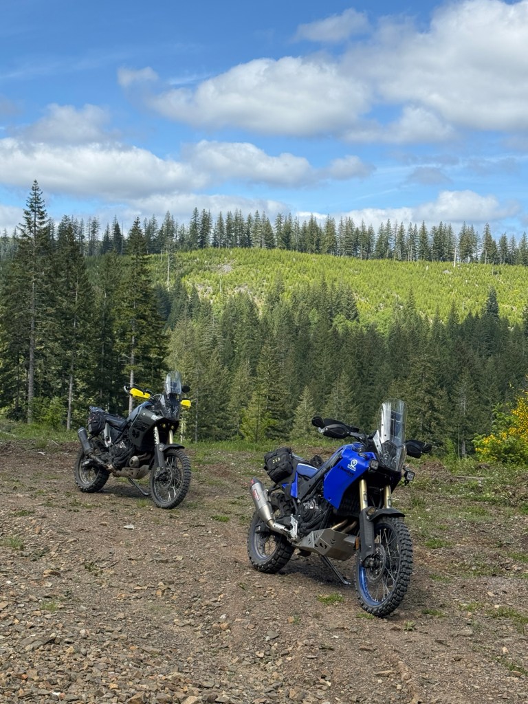
My buddy Jacob met me after work and we went on a little mid-week adventure.
Jacob (IG: @CyclePrism)
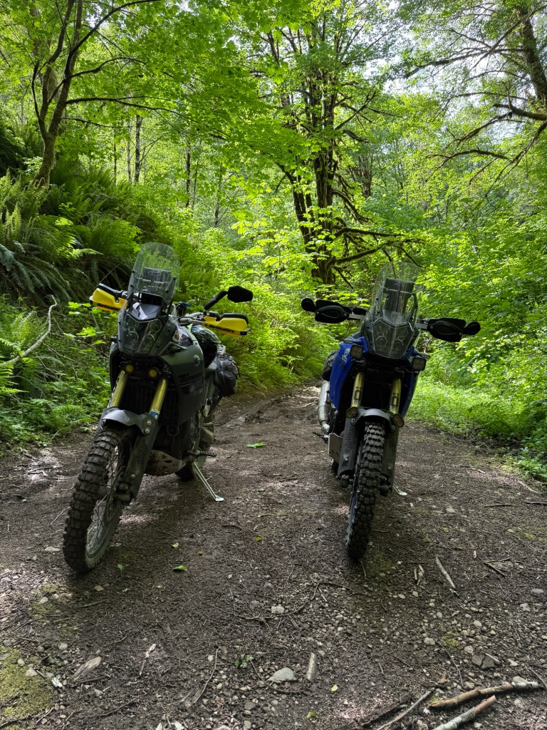
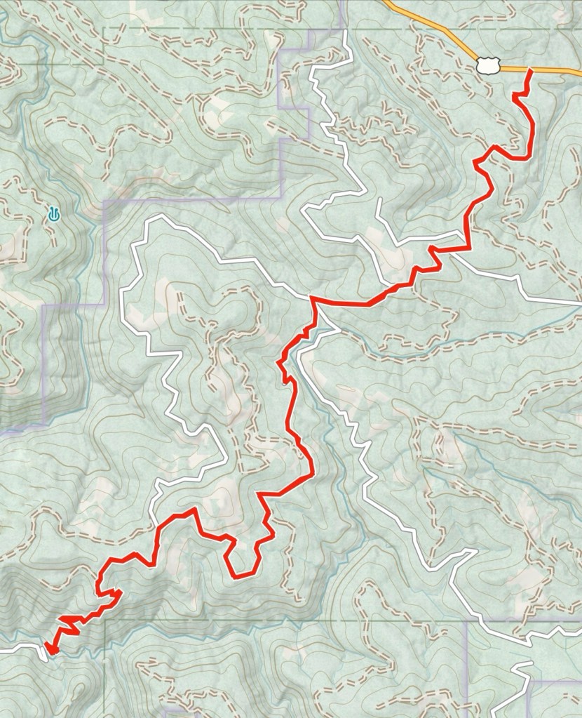
We met up in Beaverton, OR and rode 35 miles West before we started trail-riding. The first portion of this trail was fast paced Forest Service Roads where I was one-handedly taking photos with my iPhone while riding.
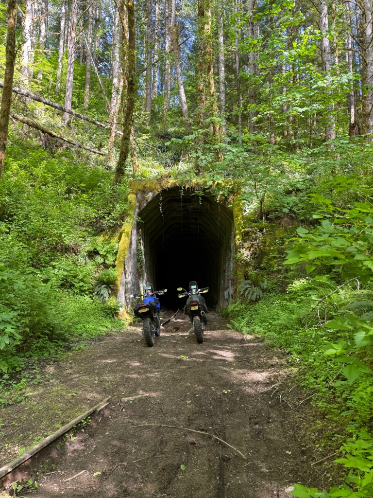
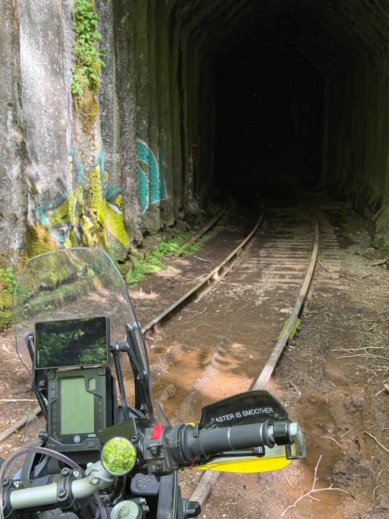
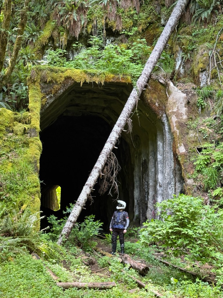
The second portion of this trail was full of deep ruts, loose rocks, slippery mud, and lots of steep areas. At the end of this “technical” part is an abandoned trail tunnel.
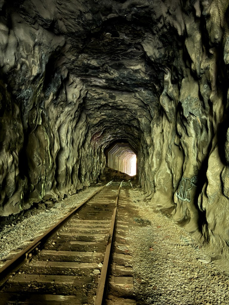
“Tunnel 27” is an abandoned train tunnel located on the Tillamook Bay Railroad.
Large portions of this railroad were destroyed by a winter storm in 2007, and never fixed due to the high cost of repairs.
Here’s another photo of Jacob. The bad thing about being the photographer and storyteller, is I’m never in the photosA quick 30 miles to the Salmonberry Train Tunnel